SUMMARY
This is AI generated summarization, which may have errors. For context, always refer to the full article.

MANILA, Philippines – For Metro Manila’s mayors, ignorance to the risks of disasters is no longer a valid excuse.
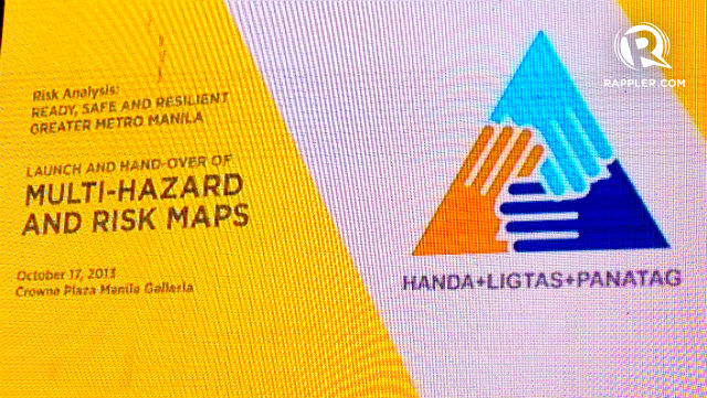
This was the implied message during the Launch and Handover of Multi-hazard and Risk Maps for the Greater Metro Manila Area (GMMA) on Thursday, Oct 17. The event was organized by the Australian Embassy in partnership with the National Disaster Risk Reduction and Management Council (NDRRMC), the Department of Science and Technology (DOST), and several other government agencies.
A Risk-Analysis Project (RAP) funded by the Australian government has produced 87 high-resolution hazard maps of Metro Manila cities and surrounding areas using Light Detection and Ranging (LiDAR) technology.
The maps plot the levels of risk across the metropolis due to potential damage from floods, landslides, high winds, and earthquakes. They also provide critical information useful for policy makers and disaster management agencies to minimize the risks. (READ: Project Agos: One stop shop for climate change)
Through these maps, local government officials can better prepare for a disaster in the short, medium and long term.
“The local government units and the local chief executives must know the hazards and risks in their respective communities,” said NDRRMC Executive Director Eduardo Del Rosario. “We may not be able to prevent disasters, but we can empower ourselves to prevent lost lives and further deplete our economic resources.”
Australian Ambassador to the Philippines Bill Tweddell said, “Natural hazards, however, do not have to lead to disasters especially if we are able to carefully assess the risk of an area and properly plan for the long-term. But we can only do that if we have the data. The Australian Government is pleased to have worked closely with the Philippine Government in producing these maps which can now help us prepare for such scenarios.” (READ: Climate Change Commission unveils first climate change map)
Tweddell added that Australia has spent some P2 billion on disaster risk reduction and management programs since 2006.
 are given to LGUs for use in policy planning and disaster risk reduction")
Prepare for the worst
Metro Manila is a hotspot for natural hazards, and is particularly vulnerable to earthquakes and flooding.
The Valley Fault System (VFS), composed of the West Valley Fault and the East Valley Fault, slices the northeastern side of the metropolis with the potential to cause major damage if the fault ruptures.
Director Renato Solidum of the Philippine Institute of Volcanology and Seismology (Phivolcs) said it is highly likely for an earthquake to occur along the VFS within a half century. The VFS has moved roughly every 400 years in the last 1,400 years. The last movement of the VFS occurred in 1658, or 355 years ago.
“The prudent thing to do is to know what are the effects of an earthquake and what we should do,” said Solidum. He added that the LiDAR maps show what highly populated areas are most vulnerable to the impact of an earthquake or other disaster, down to the barangay level. (READ: LiDAR maps completed for risk reduction)
He also disabused a common misconception that high-rise buildings were generally riskier than low or medium rise buildings. “The highest damage will be the medium rise or residential (buildings) because the sway is worse in lower buildings, thus more damage.”
The Phivolcs has established a buffer zone of 5 meters on each side of the fault line where no one should be allowed to build anything. But rapid urban development has made this provision difficult to enforce.
Challenge to local government
With a population of over 13 million people, the Greater Metro Manila Area has one of the highest population densities in the world. Many of its poorer residents live along hazardous waterways without adequate shelter.
“Di na pwede ‘yan. Dapat magevacuate, delikado.” (This can no longer be. They need to evacuate, it’s dangerous.)
This is what Quezon City mayor Herbert Bautista wants residents living along high-risk areas to know. At a press conference following the launch event, Bautista said he plans to ask those who live along the fault lines to voluntarily leave and resettle elsewhere. (READ: Informal settlers: integration not just relocation)
“Ang mga ayaw umalis, papipirmahin ng waiver na nagsasabing alam nila na delikado ang lugar nila,” said the mayor of Metro Manila’s largest city. (Those who don’t want to leave will be asked to sign a waiver acknowledging the risk of their area.) This plan includes resettling informal settlers. “Kasi kung walang nakatayo din, walang disaster.” (If there’s no structures built, there’s no disaster.)
Development unhampered
The hazard maps are likely to create ripples of controversy.
Resettling people, whether voluntary or involuntary, is a politically difficult decision for mayors to make, particularly during an election period.
The Philippines is also experiencing an economic resurgence with rapid urban growth outpacing the government’s ability to regulate development and enforce building standards. In the absence of a comprehensive land use plan, local governments are left to their own devices in managing the limited urban space.
Still, the Risk-Analysis Project partners hope the information from the maps will challenge local government officials to be more pro-active in planning and disaster risk reduction. At the same time, they acknowledge that, unless the public understands how to use the information available, the maps are just ideas on paper. – Rappler.com
The multi-hazard and risk maps are available online at http://www.geoportal.gov.ph.
Add a comment
How does this make you feel?
There are no comments yet. Add your comment to start the conversation.