SUMMARY
This is AI generated summarization, which may have errors. For context, always refer to the full article.
What’s the weather like in your area? Report the situation through Rappler’s Agos or tweet us at @rapplerdotcom.
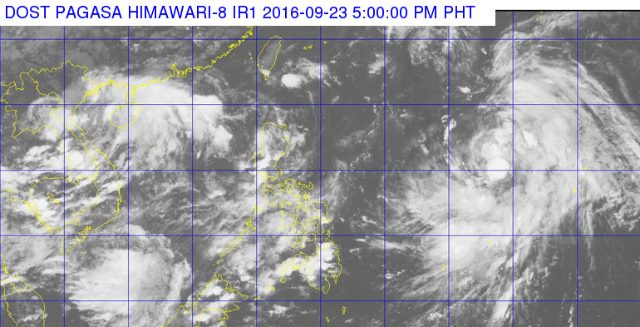
MANILA, Philippines – The Visayas and parts of Luzon will have cloudy skies with light to moderate rains and thunderstorms on Saturday, September 24, according to state weather bureau PAGASA.
In its 5 pm bulletin on Friday, September 23, PAGASA said these skies will affect Metro Manila, Mimaropa, Calabarzon, Bicol Region, and Visayas.
An intertropical convergence zone is affecting Southern Luzon and Visayas.
The rest of the country will be partly cloudy to cloudy with isolated rainshowers or thunderstorms.
Moderate to occasionally strong winds will blow from the northeast to east over extreme Northern Luzon, causing moderate to occasionally rough seas.
Coastal waters will be slight to moderate as light to moderate winds blow from the northeast to northwest over the rest of Luzon and Visayas, and from the northwest to west over Mindanao.
Meanwhile, Tropical Storm (Megi) which is still outside the Philippine Area of Responsibility (PAR) was last located as of 4 pm Friday at 1,855 kilometers east of Central Luzon.
It has maximum sustained winds of 65 kilometers per hour (km/h) and gustiness of up to 80 km/h. It is moving west northwest in direction at 15 km/h.
PAGASA earlier said the tropical storm is expected to enter PAR on Saturday morning, September 24, after which it will be locally named “Helen.” – Rappler.com
Add a comment
How does this make you feel?
There are no comments yet. Add your comment to start the conversation.