SUMMARY
This is AI generated summarization, which may have errors. For context, always refer to the full article.
What’s the weather like in your area? Report the situation through Rappler’s Agos or tweet us at @rapplerdotcom.
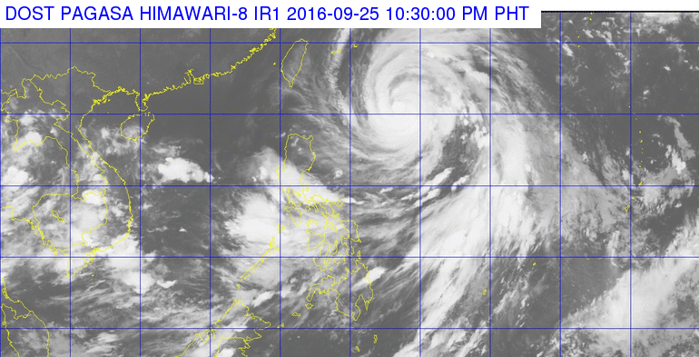
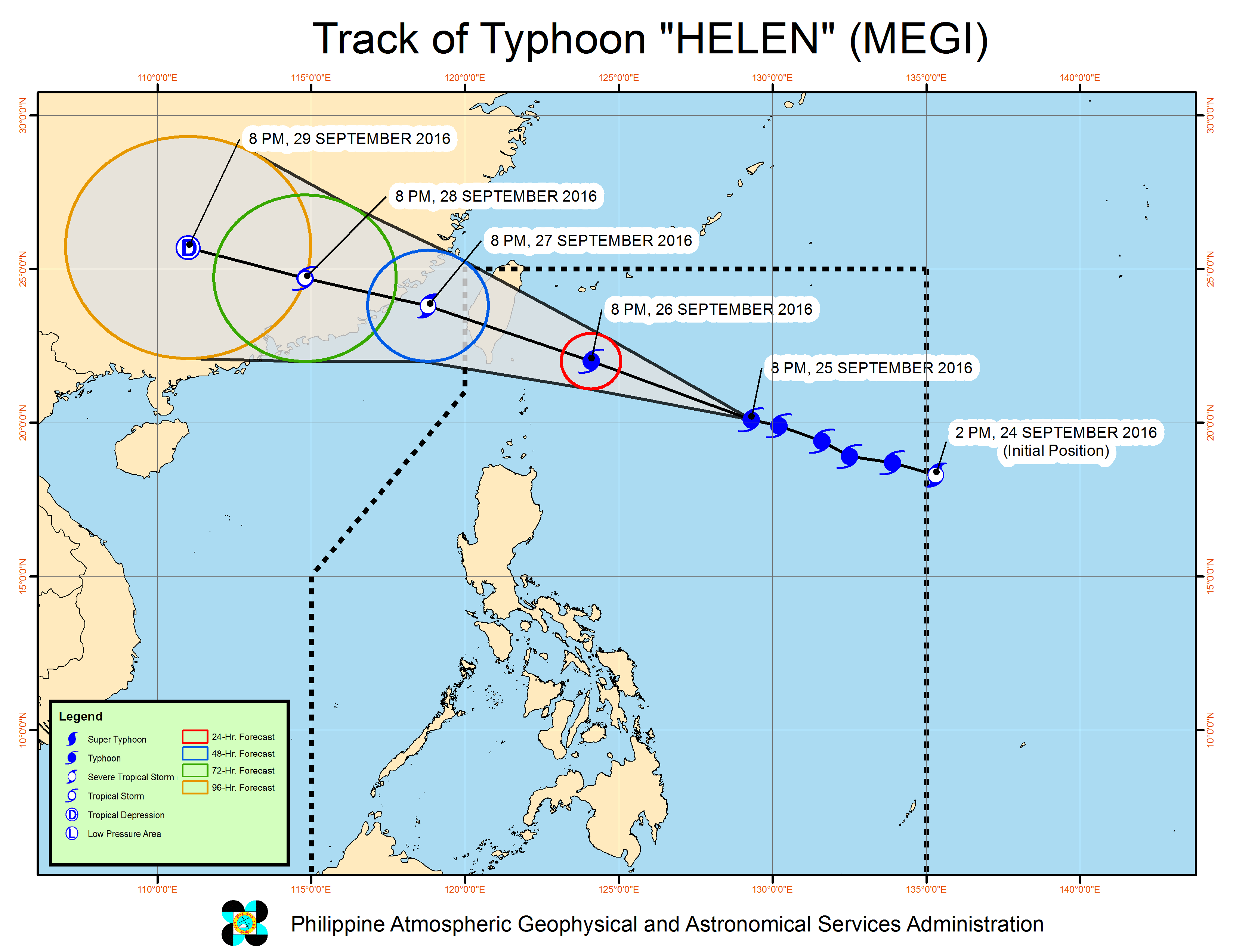
MANILA, Philippines – Typhoon Helen (Megi) maintained its strength as it continued to move towards the Batanes-Taiwan area on Sunday evening, September 25.
In its bulletin issued 11 pm on Sunday, state weather bureau PAGASA said Helen was 745 kilometers east of Basco, Batanes, still moving west northwest at 22 kilometers per hour (km/h).
It continues to have maximum winds of up to 140 km/h and gustiness of up to 175 km/h.
Signal number 2 is now up over Batanes, while signal number 1 is still raised in the Babuyan Group of Islands.
Batanes is still reeling from the effects of Typhoon Ferdie (Meranti), which left hundreds of millions of pesos worth of damage. Batanes had been placed under a state of calamity last September 15 due to Ferdie.
PAGASA warned that moderate to heavy rain is expected within the 800-km diameter of Typhoon Helen. Sea travel is also risky in the northern and eastern seaboards of Northern Luzon.
Helen is expected to leave the Philippine Area of Responsibility (PAR) on Tuesday, September 27.
– Rappler.com
Add a comment
How does this make you feel?
There are no comments yet. Add your comment to start the conversation.