SUMMARY
This is AI generated summarization, which may have errors. For context, always refer to the full article.
What’s the weather like in your area? Report the situation through Rappler’s Agos or tweet us at @rapplerdotcom.
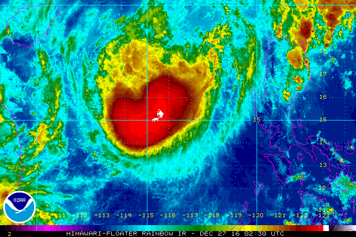
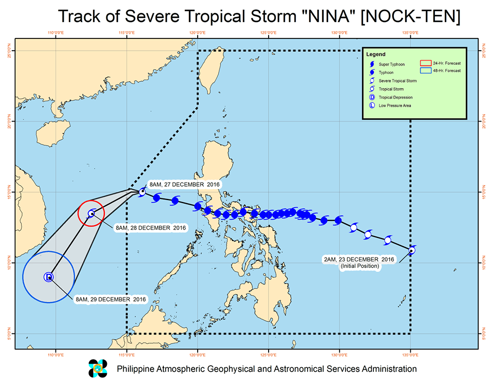
MANILA, Philippines – Typhoon Nina (Nock-ten) weakened into a severe tropical storm late Tuesday morning, December 27, as it continued to move away from the country.
In a bulletin issued 11 am on Tuesday, state weather bureau PAGASA said Nina is already 440 kilometers west of Iba, Zambales. It is moving west southwest at 17 kilometers per hour (km/h) and is expected to leave the Philippine Area of Responsibility (PAR) on Tuesday night.
Nina now has maximum winds of up to 105 km/h and gustiness of up to 130 km/h.
There are no more areas under tropical cyclone warning signals.
Sea travel, however, remains risky in the seaboards of Northern Luzon and the western seaboard of Central Luzon as Nina makes its way out.
Nina made landfall in the country a total of 8 times, with its first 2 landfalls happening on Christmas Day.
- Bato, Catanduanes – 6:30 pm, Sunday, December 25
- Sagñay, Camarines Sur – 9:30 pm, Sunday
- San Andres, Quezon – 2 am, Monday, December 26
- Torrijos, Marinduque – 4:30 am, Monday
- Verde Island, Batangas – 9:15 am, Monday
- Tingloy Island, Batangas – 10:10 am, Monday
- Calatagan, Batangas – 11:40 am, Monday
- Lubang Island, Occidental Mindoro – 1 pm, Monday
At least 4 fatalities have been reported in Bicol overall. President Rodrigo Duterte and some members of his Cabinet will be visiting the typhoon-hit region on Tuesday. The hardest-hit provinces – Catanduanes and Camarines Sur – were earlier placed under a state of calamity.
Nina also triggered power outages and disrupted transportation. Photos from netizens showed uprooted trees and debris littering the streets.
– Rappler.com
Add a comment
How does this make you feel?
There are no comments yet. Add your comment to start the conversation.