SUMMARY
This is AI generated summarization, which may have errors. For context, always refer to the full article.
What’s the weather like in your area? Report the situation through Rappler’s Agos or tweet us at @rapplerdotcom.
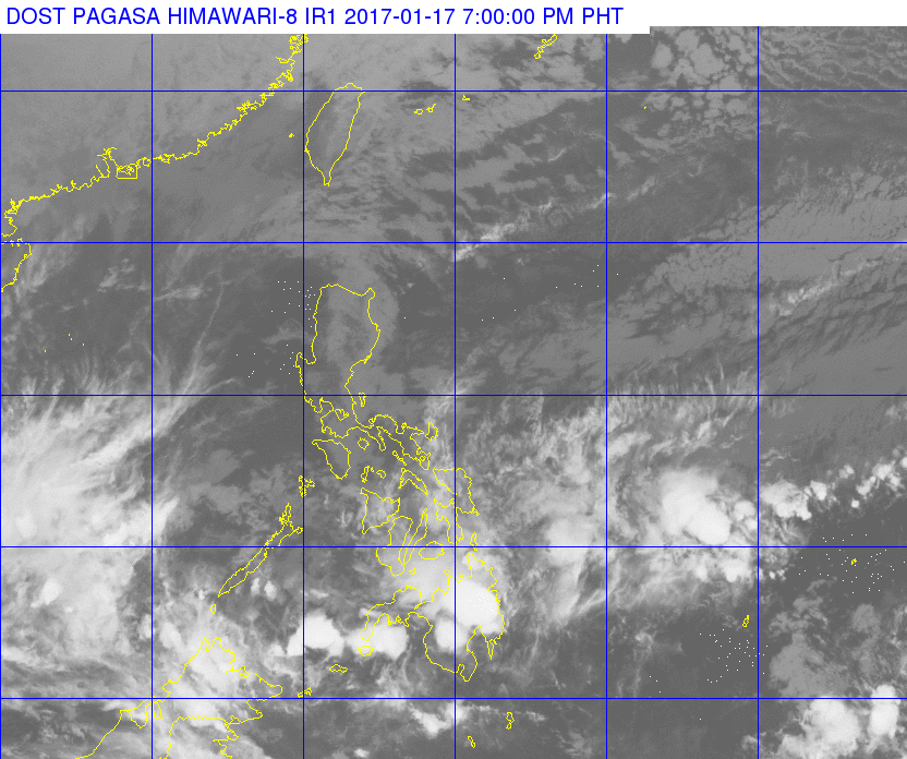
MANILA, Philippines – The low pressure area (LPA) east northeast of Zamboanga City dissipated late Tuesday morning, January 17, but the tail-end of a cold front is still affecting the Visayas and the eastern part of Mindanao. The northeast monsoon is also affecting Luzon.
In a bulletin issued 5 pm on Tuesday, state weather bureau PAGASA said moderate to heavy rain is expected in Eastern Visayas and Caraga on Wednesday, January 18. Those regions should watch out for possible floods and landslides.
There will also be light to moderate rain in the rest of the Visayas and the rest of Mindanao, where some cities are reeling from massive floods. Cagayan de Oro was earlier placed under a state of calamity.
At least 7 people have been reported dead.
Light rain will also be experienced in the regions of Cagayan Valley and Cordillera, as well as the province of Aurora.
There will only be isolated rainshowers in the rest of Luzon, including Metro Manila.
PAGASA also warned that coastal waters in Luzon, the Visayas, and Caraga will be moderate to rough. – Rappler.com
Add a comment
How does this make you feel?
There are no comments yet. Add your comment to start the conversation.