SUMMARY
This is AI generated summarization, which may have errors. For context, always refer to the full article.
What’s the weather like in your area? Report the situation through Rappler’s Agos or tweet us at @rapplerdotcom.
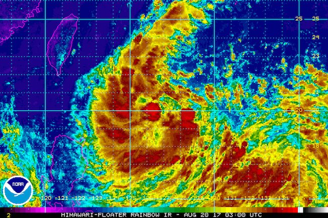
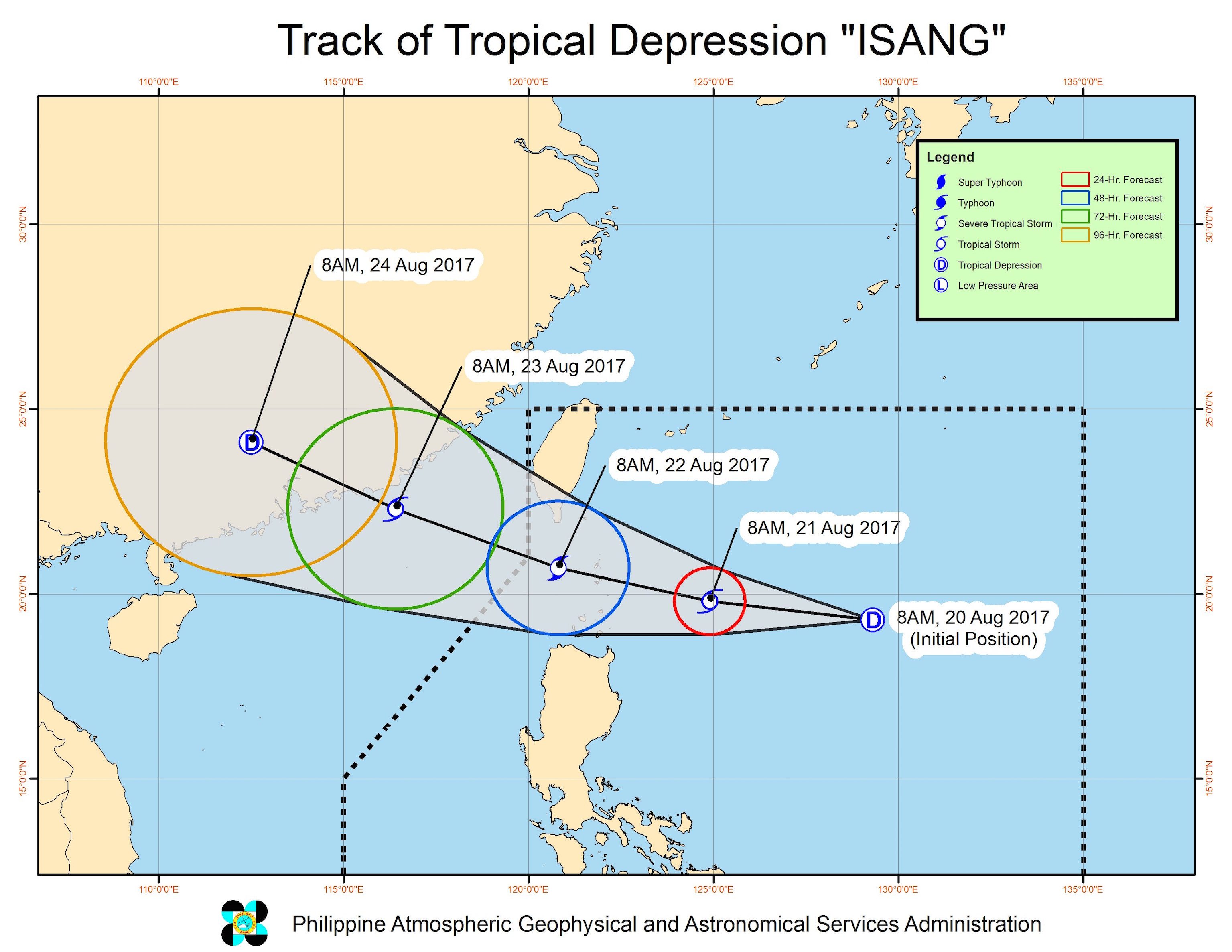
MANILA, Philippines – The low pressure area (LPA) east of Batanes intensified into a tropical depression on Sunday morning, August 20. It has been named Isang.
In a bulletin issued past 11 am on Sunday, state weather bureau PAGASA said Isang is 735 kilometers east of Basco, Batanes, moving west northwest at 19 kilometers per hour (km/h).
The tropical depression has maximum winds of 55 km/h and gustiness of up to 65 km/h.
PAGASA warned that Isang could strengthen further into a tropical storm within the next 24 to 36 hours.
Signal number 1 is already raised over Batanes and the Babuyan Group of Islands.
Isang will be closest to Batanes late Monday evening, August 21, or early Tuesday morning, August 22.
“Hindi natin inaalis ang posibilidad na ito’y mag-landfall at magkakaroon ng direktang epekto dito sa may bahagi ng extreme Northern Luzon,” said PAGASA forecaster Obet Badrina in a news briefing late Sunday morning.
(We’re not ruling out the possibility that it would make landfall and have a direct effect on extreme Northern Luzon.)
The tropical depression is also enhancing the southwest monsoon, which will trigger light to heavy rain in Metro Manila, Central Luzon, Calabarzon, Mimaropa, Bicol, and the Visayas.
Badrina said these areas should watch out for possible flash floods and landslides.
Isang is expected to leave the Philippine Area of Responsibility (PAR) on Tuesday or on Wednesday, August 23.
– Rappler.com
Add a comment
How does this make you feel?
There are no comments yet. Add your comment to start the conversation.