SUMMARY
This is AI generated summarization, which may have errors. For context, always refer to the full article.
What’s the weather like in your area? Report the situation through Rappler’s Agos or tweet us at @rapplerdotcom.
MANILA, Philippines – Tropical Storm Caloy (Jelawat) left the Philippine Area of Responsibility (PAR) on Wednesday, March 28, a day earlier than expected.
The tropical storm did not directly affect the Philippines or hit land, but its trough or extension is affecting parts of the country.
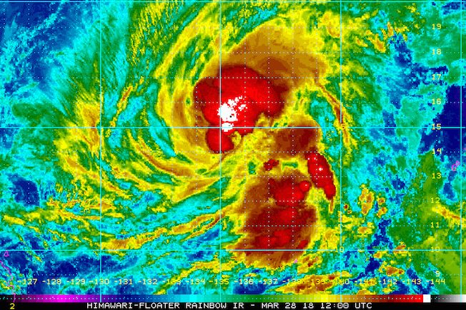
As of Wednesday afternoon, Caloy was located 1,050 kilometers east northeast of Guiuan, Eastern Samar – outside PAR – moving north at just 11 kilometers per hour (km/h).
The tropical storm has maximum winds of 85 km/h near the center and gustiness of up to 105 km/h.
Due to its trough or extension, there will be light to heavy rain in Bicol and Eastern Visayas. Residents of these areas should be on alert for possible flash floods and landslides. (READ: FAST FACTS: Tropical cyclones, rainfall advisories)
The rest of the country will only have isolated rainshowers or thunderstorms.
Caloy had entered PAR on Tuesday, March 27, as Filipinos mark Holy Week. Tropical cyclones during Holy Week are rare, since most occur during July to September. (READ: Holy Week storms in the Philippines) – Rappler.com
Add a comment
How does this make you feel?
There are no comments yet. Add your comment to start the conversation.