SUMMARY
This is AI generated summarization, which may have errors. For context, always refer to the full article.
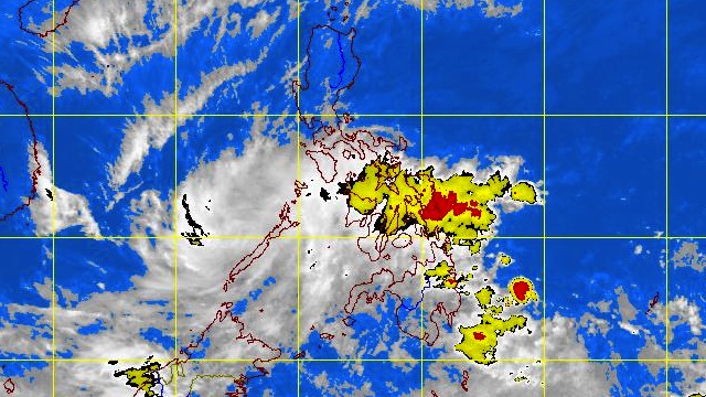
MANILA, Philippines – Tropical depression “Crising” maintained its strength and is now hovering over the Moro Gulf, weather bureau PAGASA said on Tuesday, February 19.
In its 11 pm tropical cyclone update, PAGASA noted that as of 10 pm Crising was located 50 km Southeast of Zamboanga City (06.5°N, 122.3°E) with maximum sustained winds of 45 km/h.
The tropical depression is moving West-Northwest at 24 km/H and by Wednesday evening will be 210 km Southwest of Puerto Princesa, Palawan.
Tropical storm signal warning No. 1 is still in effect over:
- Southern Palawan
- Sultan Kudarat
- Maguindanao
- Lanao del Sur
- Lanao del Norte
- Misamis Occidental
- Zamboanga del Norte
- Zamboanga del Sur
- Zamboanga Sibugay
- Basilan
- Sulu
- Tawi-Tawi
PAGASA advised residents living in low-lying and mountainous areas under storm signal #1 to watch out for possible flashfloods and landslides.
The estimated rainfall amount within the 300 km diameter of Crising is 5-15 mm/h (moderate-heavy).
Fishing boats and other small vessels should not venture out into the Northern, Eastern and Southern seaboards of Luzon, the Central and Eastern seaboards of Visayas and Eastern seaboard of Mindanao.
PAGASA also spotted a new Low Pressure Area 150 km Northwest of Puerto Princesa City. – with reports from Carlos Santamaria/Rappler.com
Add a comment
How does this make you feel?
There are no comments yet. Add your comment to start the conversation.