SUMMARY
This is AI generated summarization, which may have errors. For context, always refer to the full article.
What’s the weather like in your area? Tweet us the situation: Use #weatheralert and tag@rapplerdotcom.
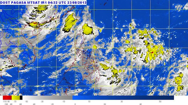
MANILA, Philippines – A new low pressure area has entered the Philippine Area of Responsibility, and is moving closer to Mindanao, the state weather bureau said Friday, August 23.
The new low pressure area was spotted 580 km east of Hinatuan, Surigao del Sur (8.0°N, 132.0°E) as of 10 am Friday, state weather bureau PAGASA said.
The system is expected to bring cloudy skies with moderate to occasionally heavy rain over the eastern sections of Mindanao.
These areas should be on the lookout for possible landslides and flash floods, the bureau said.
The new LPA follows tropical storm Maring (international codename Trami), which strengthened the southwest monsoon.
The combined effects of the two systems brought heavy rain and caused floods in many parts of Luzon earlier this week. – Rappler.com
Add a comment
How does this make you feel?
There are no comments yet. Add your comment to start the conversation.