SUMMARY
This is AI generated summarization, which may have errors. For context, always refer to the full article.
What’s the weather like in your area? Tweet us the situation: Use #weatheralert and tag @rapplerdotcom.
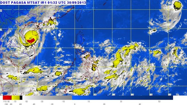
MANILA, Philippines – Tropical depression Quedan continues to hover just east of the country Monday, September 30, state weather bureau PAGASA said.
As of 10 am, the center of Quedan was estimated to be 800 km east of Guiuan, Eastern Samar (12.0°N, 133.9°E), carrying maximum winds of 55 km/h near the center.
It is estimated to have moderate to occasionally heavy rainfall (5-7.5 mm/h) within its 300 km diameter.
It is forecast to move north northwest at a speed of 7 km/h, and is expected to be around 900 km east of Virac, Catanduanes by Tuesday morning, October 1. By Wednesday morning, October 2, it is forecat to be 1,150 km east of Baler, Aurora.
Quedan is still far from land, and is not yet expected to affect the country.
The next bulletin on Quedan will be issued at 11 pm Monday. – Rappler.com
Add a comment
How does this make you feel?
There are no comments yet. Add your comment to start the conversation.