SUMMARY
This is AI generated summarization, which may have errors. For context, always refer to the full article.
What’s the weather like in your area? Tweet us the situation: Use #weatheralert and tag @rapplerdotcom.
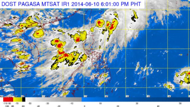
MANILA, Philippines – Tropical depression Ester maintained its strength as it slightly accelerated northeastward, state weather bureau PAGASA said.
As of 4 pm Tuesday, June 10, Ester was estimated at 200 km north northeast of Basco, Batanes, with maximum winds of 55 km per hour near the center.
PAGASA estimated about 5 to 15 mm per hour of rainfall amount within the 250 km diameter of the tropical depression.
Ester will continue to enhance the southwest monsoon which will bring moderate to heavy rains over the Ilocos region, Zambales, and Bataan.
It is expected to be at 700 km northeast of Batanes, or outside the Philippine Area of Responsibility (PAR), on Wednesday morning, June 11.

Only the Batanes Group of Islands remain under public storm signal no 1, which brings winds with speeds of 30-60 km per hour in at least 36 hours.
PAGASA will issue its next weather bulletin on Ester at 11 pm Tuesday. – Rappler.com
Add a comment
How does this make you feel?
There are no comments yet. Add your comment to start the conversation.