SUMMARY
This is AI generated summarization, which may have errors. For context, always refer to the full article.
What’s the weather like in your area? Tweet us the situation: Use #weatheralert and tag @rapplerdotcom.
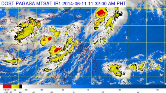
MANILA, Philippines – Tropical Depression Ester maintained its strength as it moves farther away from the country, state weather bureau PAGASA said.
As of 10 am Wednesday, June 11, Ester was estimated at 480 km northeast of Basco, Batanes, with maximum winds of 55 km per hour near the center.
PAGASA estimated about 5 to 15 mm per hour of rainfall amount within the 250 km diameter of the tropical depression.
Ester will continue to enhance the southwest monsoon which will bring moderate to heavy rains over:
- Batanes group of islands
- Calayan and Babuyan group of islands
- Regions of Ilocos and Cordillera
- Provinces of Pampanga, Zambales, Bataan, and Bulacan
The rest of Luzon will have occasional rains.
PAGASA advised fishing boats and other small seacrafts not to venture out into the northern and western seaboards of northern Luzon due to the surge of the southwest monsoon.
Ester is expected to be outside the Philippine Area of Responsibility (PAR), by Thursday morning, June 12, at 940 km east northeast of Basco, Batanes.

All public storm warning signals have been lifted since Tuesday night, June 10.
PAGASA will issue its next weather bulletin on Ester on Wednesday, at 11 pm or earlier. – Rappler.com
Add a comment
How does this make you feel?
![[ANALYSIS] A new advocacy in race to financial literacy](https://www.rappler.com/tachyon/2024/04/advocacy-race-financial-literacy-April-19-2024.jpg?resize=257%2C257&crop_strategy=attention)


![[In This Economy] Can the PH become an upper-middle income country within this lifetime?](https://www.rappler.com/tachyon/2024/04/tl-ph-upper-income-country-04052024.jpg?resize=257%2C257&crop=295px%2C0px%2C720px%2C720px)

There are no comments yet. Add your comment to start the conversation.