SUMMARY
This is AI generated summarization, which may have errors. For context, always refer to the full article.
What’s the weather like in your area? Tweet us the situation: Use #weatheralert and tag @rapplerdotcom
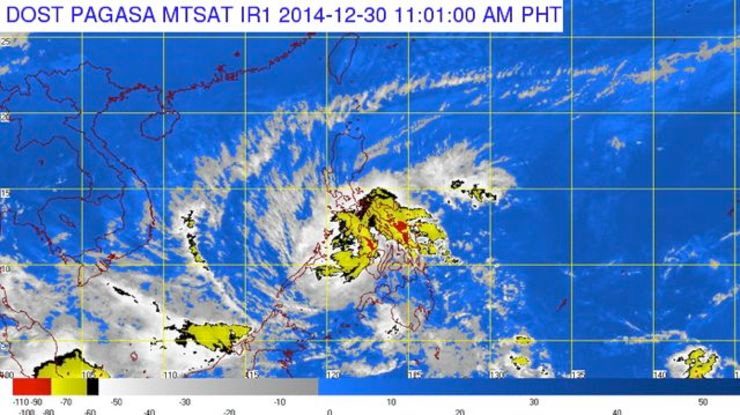
MANILA, Philippines – Tropical Storm Seniang (international name Jangmi) has maintained its strength as it continues to move west, according to state weather bureau PAGASA.
In its 11 am update on Tuesday, December 30, the weather agency said the center of the storm was estimated at 75 kilometers southeast of Iloilo City.
Seniang packs maximum sustained winds of 65 km per hour (km/h near the center and gusts of up to 80 km/h.
Storm Signal Number 2 is raised over the following areas:
VISAYAS
- Negros Occidental
- Negros Oriental
- Guimaras
- Southern Cebu
- Southern Antique
- Southern Iloilo
Storm Signal Number 1 is up over the following areas:
LUZON
- Palawan
- Calamian group of islands
- Cuyo Island
VISAYAS
- Aklan
- Capiz
- Rest of Antique
- Rest of Iloilo
- Rest of Cebu
- Bohol
- Siquijor

The storm will cause moderate to heavy rainfall (7.5 to 15 millimeters per hour) in areas within its 300-km diameter.
Residents in Visayas provinces under Storm Signal Number 1 and 2 should brace for landslides and flashfloods. (READ: #SeniangPH: Help map critical reports)
It is forecast to move west at 11 km/h, and is expected to be out of the Philippine area of responsibility on Friday morning, January 2. – Rappler.com
Add a comment
How does this make you feel?
There are no comments yet. Add your comment to start the conversation.