SUMMARY
This is AI generated summarization, which may have errors. For context, always refer to the full article.
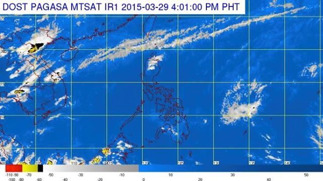
MANILA, Philippines – Metro Manila and the rest of the Philippines will have partly cloudy to cloudy skies on Monday, March 30.
In its 5 pm bulletin on Sunday, March 29, state weather bureau PAGASA said the northern province of Batanes will have partly cloudy to at times cloudy skies with isolated light rains.
Meanwhile, Metro Manila and the rest of the country will be partly cloudy to cloudy with isolated rainshowers or thunderstorms.
A weak northeast monsoon is also affecting extreme Northern Luzon, the weather agency added.
Moderate to occasionally strong winds coming from the northeast will prevail over the northern and eastern section of the country, and its coastal waters will be moderate to occasionally rough.
Elsewhere, winds will be light to moderate coming from the northeast with slight to moderate seas.
Meanwhile, as of 10:30 am Sunday, the typhoon with the international name Maysak was spotted 2,810 kilometers east of Mindanao, carrying maximum sustained winds of 130 km/h near the center and gusts of up to 160 km/h.
The typhoon is moving west at a speed of 20 km/h, but is still too far to affect any part of the country. Once it enters the Philippine Area of Responsibility (PAR) – forecast to happen Wednesday, April 1 – it will be given the local codename Chedeng, the bureau said.
The next bulletin for Maysak will be issued Monday noon, March 30. – Rappler.com
Add a comment
How does this make you feel?
There are no comments yet. Add your comment to start the conversation.