SUMMARY
This is AI generated summarization, which may have errors. For context, always refer to the full article.
What’s the weather like in your area? Tweet us the situation: Use #weatheralert and tag @rapplerdotcom
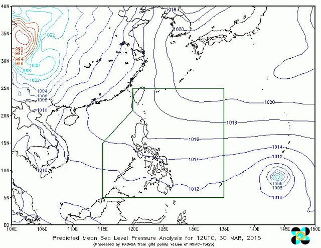
MANILA, Philippines – Due to a ridge of a high pressure area, parts of Northern Luzon can expect partly cloudy skies on Tuesday, March 31, said weather bureau PAGASA.
In the agency’s Monday evening bulletin, it identified the following areas: Cordillera, Cagayan Valley and Ilocos region.
Meanwhile, Metro Manila and the rest of the country are likely to have partly cloudy to cloudy skies with isolated rainshowers or thunderstorms.
The entire archipelago can also expect only light to moderate winds leading to slight to moderate seas.
Typhoon Maysak was spotted 2,240 kilometers east of Mindanao at 10 am on Monday – still too far from the Philippine Area of Responsibility for its effects to be felt.
PAGASA says it is likely to enter PAR on Wednesday. It will then be given the local name, “Chedeng.” – Rappler.com
Add a comment
How does this make you feel?
There are no comments yet. Add your comment to start the conversation.