SUMMARY
This is AI generated summarization, which may have errors. For context, always refer to the full article.
BREST, France – Lack of knowledge about the ocean floor is inflicting a heavy cost in oil exploration, fishery management and plane crash investigations, experts said Wednesday, June 8.
Even though two-thirds of Earth is covered in water, less than 10% of the floor of oceans deeper than 200 meters (721 feet) has been mapped in detail, according to the International Hydrographic Organization (IHO).
“There is no reason why we should know more about the surface of the Moon than the bottom of the oceans,” Francoise Gaill of France’s National Centre for Scientific Research (CNRS) said in a presentation to mark World Oceans Day.
Walter Smith, a geophysicist at the US National Oceanic and Atmospheric Administration (NOAA), said that mapping the deep sea topography would take five years and cost between two and three billion dollars if 40 vessels were put to work.
“That sounds like a lot but it is less than what NASA is spending on its next probe to Europa, a moon of Jupiter,” Smith said.
Ignorance of ocean-floor topography has practical consequences, the experts said.
“When someone falls overboard or a vessel is in distress or a plane crashes into the sea, the search and rescue operation needs an accurate forecast of the motion of surface currents,” Smith explained.
“But this cannot be made in areas where the depths are unknown or poorly known. And when there is a search for something lost on the sea floor and sending a ping signal (like a plane’s black box), we need to be able to estimate how the path of the sound will refract through the sea.
“Waiting until a plane crashes to start surveying is too late.”
Wave modelling
The problem of recovering flight recorders from airplanes lost over the deep ocean came to light in 2009.
An Air France jet on a flight from Rio to Paris crashed in the mid-Atlantic. The black boxes were recovered 23 months later from a region 3,9000 metres down, with tumultuous cliffs and canyons.
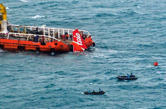
Flight recorders on the sea floor could also hold the key to mystery of Malaysia Airlines flight MH370.
The plane is presumed to have crashed at sea after disappearing en route from Kuala Lumpur to Beijing with 239 passengers and crew on board in March 2014.
Better mapping would also help with fisheries and oil and mineral exploration, said Patrick Poupon, director of Pole Mer Bretagne Atlantique, an umbrella group in northern France seeking to develop the maritime economy.
Understanding ocean topography would also improve wave modelling, an essential tool in predicting the impact of tsunamis.
Yves Guillam, speaking to AFP from the IHO’s Monaco headquarters, said governments were failing to invest in ocean mapping because they saw no short-term economic gain in it.
“The benefits are not visible in economic, environmental or societal terms, except over the long term,” he said. – Rappler.com
Add a comment
How does this make you feel?
There are no comments yet. Add your comment to start the conversation.