SUMMARY
This is AI generated summarization, which may have errors. For context, always refer to the full article.
MANILA, Philippines – The mid-Pacific Ocean was at its warmest since 1981 when Super Typhoon Yolanda (international name Haiyan) wreaked havoc on the Philippines on November 8, 2013.
This indicated the possibility of more cyclones as strong as Yolanda occuring in the future, a Filipino NASA scientist said recently.
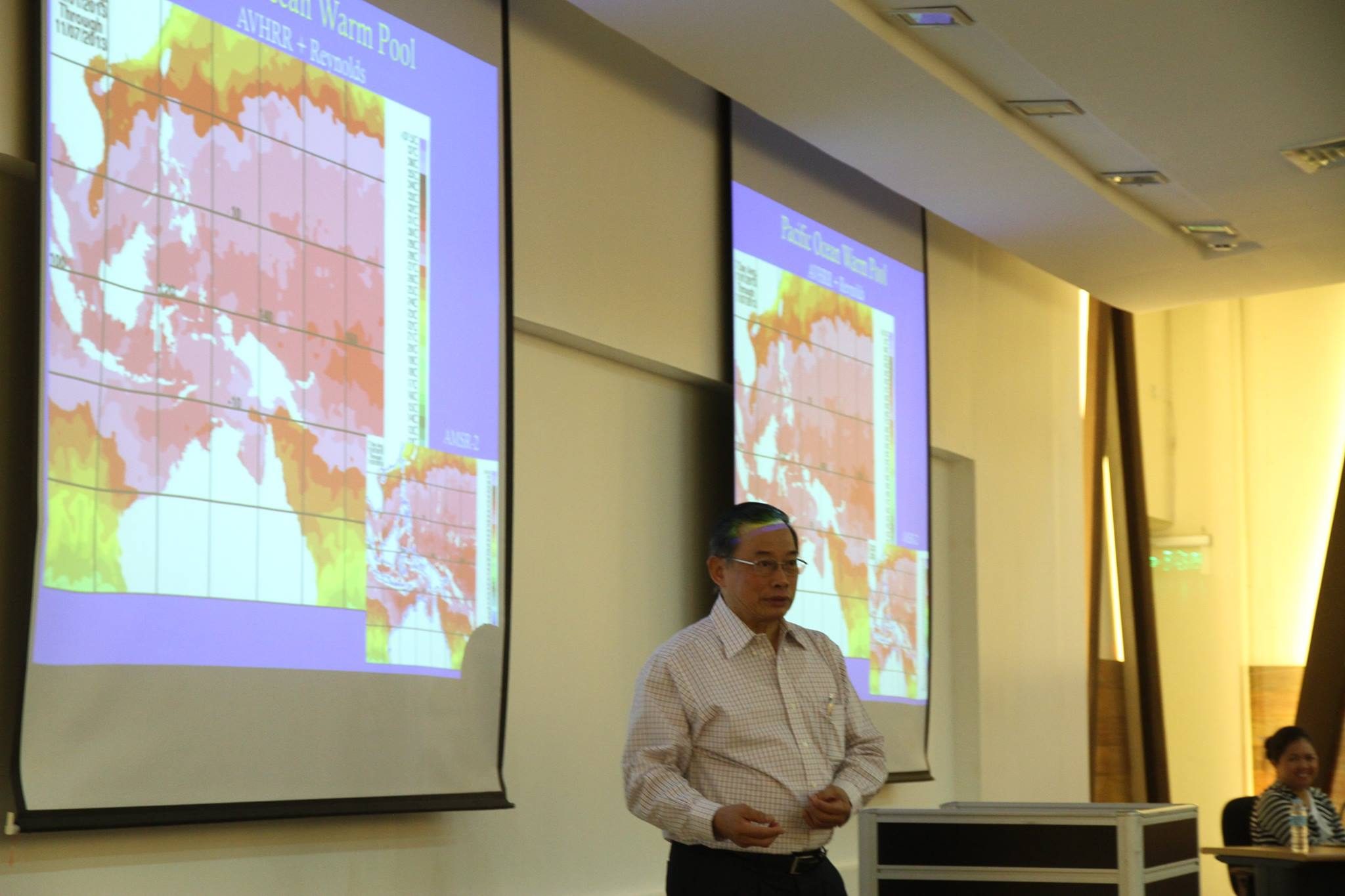
Dr Josefino Comiso, senior scientist at NASA’s Goddard Space Flight Center (GSFC), spoke before students at the Institute of Environmental Science and Meteorology, University of the Philippines Diliman (IESM-UPD) on Friday, February 13. He shared his study on the relationship of record-high sea surface temperature with Typhoon Yolanda.
IESM-UPD professor and NASA GSFC postdoctoral fellow Dr Gay Jane Perez and NASA GSFC’s Larry Stock were also part of the research.

The study found that the mid-Pacific region, including the Indo-Pacific Warm Pool and the Western Pacific region near the Philippines, was at its hottest from 1981 to 2014. Indo-Pacific Warm Pool extends from the western part of equatorial Pacific to the eastern Indian Ocean and is considered to have the warmest ocean surface temperature worldwide.
Per decade, the sea surface temperature (SST) at the Warm Pool Region was at around 0.20 degrees Celsius, the highest observed during the more than three-decade period, and the Western Pacific was at 0.23 degrees Celsius per decade, also among the hottest.
“The sea surface temperature is shown to be correlated with maximum wind speeds as observed from historical typhoons,” explained Comiso during his talk.
Yolanda’s wind speed reached about 315 kilometers per hour based on the United States Navy’s Joint Typhoon Warning Center and the Philippines’ state weather bureau PAGASA even raised public storm warning signal number 4.
In Philippine history, Yolanda is among the deadliest, and most destructive typhoons. Yolanda killed more than 6,000 individuals and incurred caused about P128 billion ($2.9 billion) worth of damage.
The warm seas, combined with low atmospheric pressure and high amount of moisture present in the atmosphere are enough to produce a menacing typhoon such as Yolanda.
But further study showed that water vapor, winds, clouds, and sea level pressure during Yolanda “did not reveal strong associated signal in 2013.”
“The annual minimum SST has also been increasing suggesting a positive trend in the temperature of the ocean mixed layer,” the abstract of the study read.
Comiso, the coordinating lead author of the Cryosphere (polar regions) Chapter of the Intergovernmental panel on Climate Change (IPCC) report on the “Climate Change 2013: The Physical Science Basis,” said that the increasing trend of ocean temperature suggests that highly destructive typhoons like Yolanda are likely to occur again.
Yolanda has been cited a number of times as a possible indicator of climate change.
But the IPCC report in 2013 was cautious in linking strong typhoons and climate change.
“Time series of cyclone indices – such as power dissipation, an aggregate compound of tropical cyclone frequency, duration, and intensity that measures total wind energy by tropical cyclones – show upward trends in the North Atlantic and weaker upward trends in the western North Pacific since the late 1970s, but interpretation of longer-term trends is again constrained by data quality concerns,” it said.
Comiso received his bachelor’s degree in physics from UP, master’s degree from the Florida State University, and doctorate degree in physics from the University of California in Los Angeles. – Rappler.com
Add a comment
How does this make you feel?
There are no comments yet. Add your comment to start the conversation.