SUMMARY
This is AI generated summarization, which may have errors. For context, always refer to the full article.

MANILA, Philippines – Disaster Risk Reduction and Management is increasingly becoming a top priority of local governments.
Australia and the Philippines recently launched risk maps for Greater Metro Manila to help local government units prepare better for disasters.
National Disaster Risk Reduction and Management Council Executive Director Eduardo Del Rosario emphasized the need for local officials to be aware of the hazards in their areas to reduce threats and vulnerabilities.
He cites Typhoons Ondoy and Pepeng and the monsoons that caused heavy flooding in 2012 and 2013, and the earthquake that rocked Cebu, Bohol, and other parts of Visayas.
Comprehensive risk reduction maps covering the Greater Metro Manila Area have been made available to the public on http://www.geoportal.gov.ph/
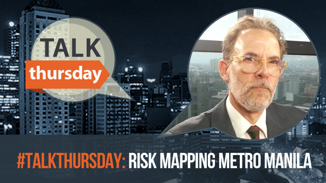
Rappler talks to Dr. John Schneider – a geoscientist from Australia and the main partner for gathering the data for the risk maps.
– Rappler.com
Add a comment
How does this make you feel?
There are no comments yet. Add your comment to start the conversation.