SUMMARY
This is AI generated summarization, which may have errors. For context, always refer to the full article.
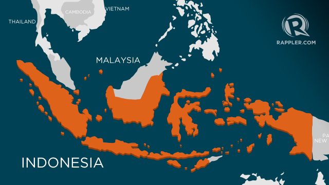
JAKARTA, Indonesia – (UPDATED) A powerful 6.8-magnitude earthquake rocked eastern Indonesia on Wednesday, the United States Geological Survey said, but no tsunami warning was issued.
The quake struck at a depth of 41 kilometers (25 miles) under the Molucca Sea, 161 kilometers northwest of the city of Kota Ternate, in the Maluku Islands, at around 10:30 pm (1430 GMT), the USGS said.
The Pacific Tsunami Warning Center said there was no threat of a tsunami and local authorities did not issue an alert. The USGS originally put the magnitude at 7.0.
“It was felt quite strongly in the city of Manado,” on Sulawesi island, said Jerisman Purba from the Indonesian meteorological agency.
But he added there were no immediate reports of damage. He said the initial quake was followed by three aftershocks measuring more than magnitude 5.0.
The quake struck in an area that has been rocked by a series of strong tremors in recent weeks, including one that generated tiny tsunami waves, although they did not cause any casualties or damage.
Indonesia sits on the Pacific “Ring of Fire” where continental plates collide, causing frequent seismic and volcanic activity. – Rappler.com
Add a comment
How does this make you feel?
There are no comments yet. Add your comment to start the conversation.