SUMMARY
This is AI generated summarization, which may have errors. For context, always refer to the full article.

MANILA, Philippines – The Department of Science and Technology (DOST) will begin surveying the Autonomous Region in Muslim Mindanao (ARMM) in August for areas prone to geologic hazards.
Using a technology called LiDAR or Light Detection and Ranging, the project is expected to produce the region’s hazard map by 2015.
LiDAR will map surface landscape with pinpoint accuracy using laser scanners mounted on an airplane. The technology will help determine areas prone to flooding and other hazards vis a vis population density. (READ: LiDAR flood maps completed for disaster risk reduction)
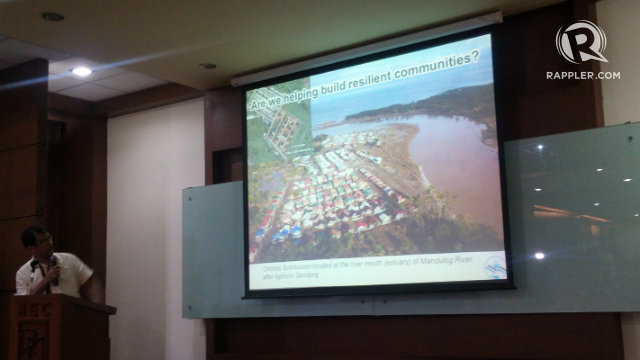
“The plane gets information on the area by ‘throwing’ laser over the areas it covers,” DOST Assistant Secretary Raymund Liboro said in a hazard preparedness information campaign in Zamboanga City.
The mapping plane will fly over Basilan, then Sulu and Tawi-Tawi, starting August.
“The plane will gather information on the region…to produce high-resolution, detailed, and up-to-date elevation maps and data sets,” he added.
LiDAR is part of DOST’s project with the University of the Philippines’ Disaster Risk and Exposure Assessment for Mitigation (DREAM), a component of Project Nationwide Operational Assessment of Hazards (NOAH). (READ: DREAM LiDAR project to aid in disaster management)
Disaster preparedness
Surveying – which usually takes 6 years to finish for geodetic engineers, and one and a half year for photogrammetry – can be done by the LiDAR in 6.7 seconds at 150 kHz, according to Czar Jakiri Sarmiento of the DREAM-LiDAR.
The information will be used to develop hazard maps, which will show the vulnerability of communities to natural hazards, such as floods and other disasters.
“Processing of information is usually done in 3 months, so we can confidently say that we will be able to produce ARMM’s hazard map by next year,” Liboro said.
These maps, when used with the Integrated Flood Early Warning System, can give communities at least 6 hours notice to prepare for an impending disaster. (READ: #ProjectAgos: One-stop shop for climate change)
DOST said it has already installed 46 sensors all over ARMM. These sensors can help prepare for possible flooding, earthquake, tsunami, and other disasters by monitoring rainfall, water level, and stream level.
“Preparedness is more important than rescue as we save more lives if we are ready when disaster comes. [Local government units] should stress on this,” said DOST-ARMM Secretary Myra Alih. – Jee Y. Geronimo/Rappler.com
Add a comment
How does this make you feel?
There are no comments yet. Add your comment to start the conversation.