SUMMARY
This is AI generated summarization, which may have errors. For context, always refer to the full article.
MANILA, Philippines – As the world becomes highly prone to calamities due to climate change, geographic information becomes a “lifeline tool” that countries must utilize to maximize reduce risks during disasters.
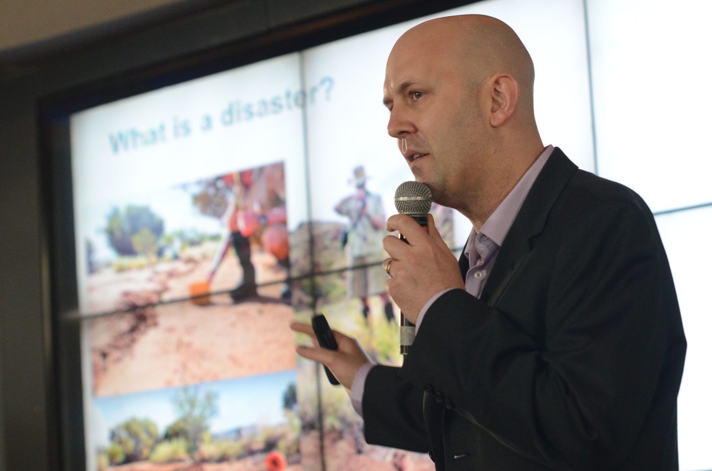
Geoscience Australia’s Matthew Jakab said on Saturday, September 26, that geographic data collected by government research agencies, when put to good use, can help in “saving lives, protecting investments and improving livelihoods.”
Speaking before hundreds of participants at Rappler’s Innovation + Social Good Summit, Jakab said research data help identify and understand the extent and intensity of disasters, the areas exposed to hazards, and the behavior of such risks.
For example, Jakab said, good risk assessment may help local government units decide whether to issue permits for land use and developments in specific areas. He added that information about how physical structures may be damaged in a disaster may also help builders strengthen a construction’s foundation and observe building codes properly.
It “helps government to understand what [are the possible] losses when the event materializes,” Jakab told Rappler. “Information can tell us a lot. It is worth thinking of how we can explore its utility.”
Jakab heads the Philippine commission of the Geocience Australia’s capacity-building project, which is supported by the Australian Aid Program.
Being the economically-strong neighbor to 5 vulnerable countries, the Philippines included, Australia provides 60% of the aid given to the Pacific countries. Countries in the Asia-Pacific are among the most vulnerable in the world.
Geoscience Australi’s project in the Philippines started in the aftermath of the Typhoon Ondoy (Ketsana), which claimed the lives and properties of thousands of Metro Manila residents in 2009. The project partnered with state science and technology bureaus to enhance their capacities in data collection and disaster modelling.
“Through information given by agencies concerned, we are able to quantify risks and produce a number of information products helping to save lives and protect investments,” Jakab explained.
The products include risk analysis of the greater Metro Manila area, the valley fault system atlas, and the climate and exposure database.
The Philippines is among the most disaster-vulnerable country in the world. In 2013, Filipinos trembled with the magnitude 7.2 Bohol earthquake that destroyed centuries-old churches. In the same year, Super Typhoon Yolanda (Haiyan) devastated the whole of Tacloban City and its neighboring towns.
Metro Manila is currently preparing for a 7.9 magnitude earthquake, which scientists say may happen within this generation’s lifetime. – Rappler.com
Add a comment
How does this make you feel?
There are no comments yet. Add your comment to start the conversation.