SUMMARY
This is AI generated summarization, which may have errors. For context, always refer to the full article.
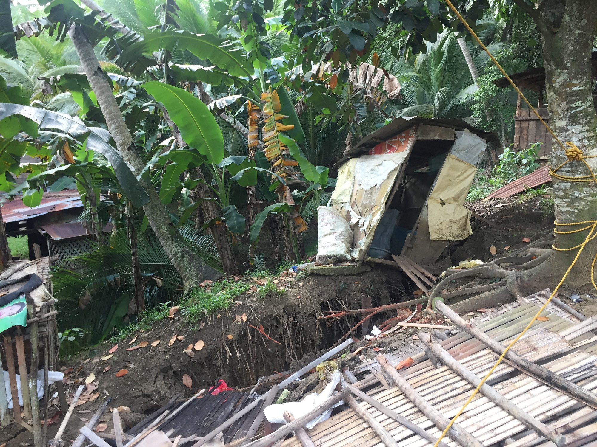
CEBU, Philippines – Five days of heavy downpour triggered a landslide in a mountain barangay in Boljoon town, southern Cebu, on October 27, prompting barangay officials to declare the entire barangay under a state of calamity Friday, November 3.
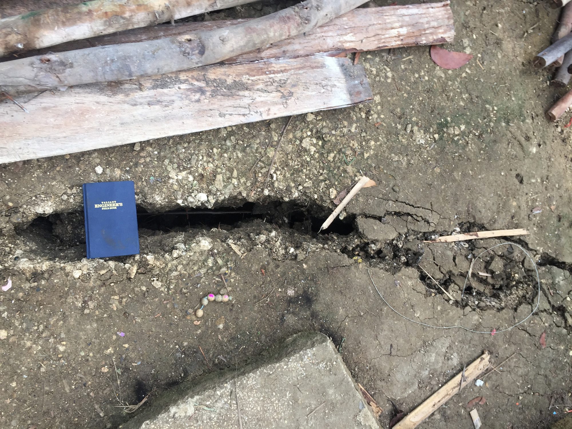
Aside from the landslide that hit Lower Becerril, a mountain village in Boljoon town, authorities also noticed land movement and land cracks in various areas in the barangay, prompting families to evacuate.
Village chief Ma Patrocinio Castroverde said the barangay council decided to declare the state of calamity on Friday, November 3, so they can access the barangay’s calamity fund to assist the 18 families affected by the land movement.
Baltzar Tribunalo, head of the Provincial Disaster Risk Reduction Management Office (PDRRMO), suggested that the town officials make the declaration so they can easily access assistance from the provincial government.
Based on the PDRRMO’s assessment, Tribunalo said evacuated residents of Lower Becerril should not be allowed to return to their homes because the area, especially in Sitio Camfranco, has become very dangerous.
“We urge the local government to look for relocation sites and not allow evacuated residents to return to their homes in Lower Becerril because of the huge land cracks that our inspectors found,” Tribunalo told reporters.
The Mines and Geosciences Bureau (MGB) in Central Visayas has also recommended that Sitio Camfranco be declared as a “permanent danger zone and no habitation zone.” The local government unit was also advised to cordon-off the area.
MGB geologists that went to inspect the site observed two landslide areas. Debris from the landslide has blocked a section of the Losapon River causing the artificial damming of the river. Roads going to Barangay Lower Becerril had also been blocked because of the landslides there.
The geologists said the debris might also cause a mudslide towards Barangay Poblacion if it would not be immediately cleared prior to a heavy downpour.
MGB 7 said the landslide that hit Barangay Lower Becerril was induced by rain.
Neighboring barangays of Lunop and Nangka were also in danger of being affected by the land movement, authorities said. – Rappler.com
Add a comment
How does this make you feel?


There are no comments yet. Add your comment to start the conversation.