SUMMARY
This is AI generated summarization, which may have errors. For context, always refer to the full article.
GENERAL SANTOS CITY, Philippines – Time and tide may have restored a portion of the shoreline in General Santos that “sank” in February and created a deep blue hole just feet away from houses of informal settlers in an urban poor community right in the middle of this city.
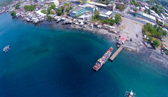
In a new aerial photograph by Ronald Velasquez taken on Thursday, April 9, the deep portion of the area where the sinkhole first appeared in February seemed to have been covered by sand and mud.
Velasquez took photographs and videos anew after two foreign nationals dove and investigated the phenomenon which city disaster official Dr Agripino Dacera Jr had already declared as a “coastal subsidence.”
Velasquez also took exclusive aerial photos and videos of the sink hole on February 20.
American tuna trader John Heitz and retired British fireman Chris Dearne, both dive masters, dove 40 meters on March 22 but found nothing unusual beneath the sea.
Dacera explained that a few meters from the Tinago shoreline was an underwater precipice (steep cliff) that was at least 25 meters deep.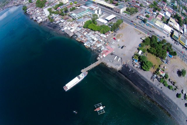 “Throughout the years, the movement of the sea has eroded parts of this cliff, thus causing the erosion,” Dacera explained.
General Santos City Mayor Ronnel Rivera had declared the area a permanent danger zone – a “no-build zone” that residents would not be allowed to return to.
A total of 47 families were forced to leave their homes in Tinago on February 20 after the hole kept getting bigger and Displaced residents were moved to the city’s relocation site in Barangay Mabuhay.
A longtime resident said a similar incident occurred in the 1980s, when several houses were destroyed when a portion of the shore collapsed and created a deep underwater hole. – Rappler.com
Add a comment
How does this make you feel?
There are no comments yet. Add your comment to start the conversation.