SUMMARY
This is AI generated summarization, which may have errors. For context, always refer to the full article.

MANILA, Philippines (UPDATED) – Batanes remained under public storm warning signal number 1 late Tuesday, August 21, as an intensifying Typhoon Igme (international codename Tembin) moved northwest.
At 4 pm, Typhoon Igme was spotted 320 kilometers east northeast of Basco, Batanes (21.4°N, 125.3°E), packing winds of 165 km/h near the center and gusts of up to 200 km/h.
Storm warning signals in Cagayan, including the Calayan and Babuyan islands, has been lowered, the bureau’s 5 pm bulletin said.
Igme is expected to bring moderate to heavy rainfall (between 10-25 millimeters per hour) within its 550 km diameter.
The typhoon is still moving at 11 km/h, going north. It is expected to turn towards northern Taiwan in the next 24 hours.
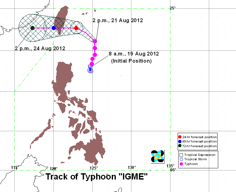
In its previous bulletins, the bureau did not indicate the weather disturbance’s speed as it was nearly stationary since early Monday.
By Wednesday afternoon, it is forecast have moved to 240 km north northeast of Basco. By Thursday, it is estimated to be 290 km north northwest of Basco.
Due to Igme, the southwest monsoon will be enhanced, bringing light to moderate rain over Luzon, particularly over Metro Manila, Pangasinan, Zambales, Bataan, Batangas, and the Mindoro provinces.
Small seacraft are advised to stay out of the water, especially in the eastern seaboard of Central and Southern Luzon.
Tropical storm ‘Bolaven’
As Igme moves north, another weather disturbance continues to intensify over the Pacific. It is currently named tropical storm “Bolaven,” and will be named “Julian” if it enters the Philippine Area of Responsibility.
The Taiwan Central Weather Bureau said Bolaven is moving at a speed of 9 km per hour, with winds of 65 km/h and gusts of up to 90 km/h. It has a radius of 100 km.
The US Navy’s Joint Typhoon Warning Center (JTWC), in its latest bulletin, spotted the center of Bolaven at 18.4N 140.4E, or near Guam.
JTWC forecasts Bolaven to move west northwest, also in the general direction of Taiwan, in the following days. It is expected to reach typhoon status by Friday.
Tuesday’s weather
Stormy weather is expected in Cagayan and Batanes due to Igme, while the rest of Luzon will be mostly cloudy with scattered rain and thunderstorms.
The rest of northern Luzon, as well as western areas of central Luzon are expected to have cloudy skies with widespread rain.
Visayas and Mindanao, meanwhile, will have partly cloudy to cloudy skies with isolated rain or thunderstorms.
Tuguegarao City will have rains with gusty winds, while Laoag, Baguio, Olongapo, and Angeles will experience cloudy skies with rain and thunderstorms.
Metro Manila, Tagaytay, Legazpi, and Puerto Princesa will have mostly cloudy skies with scattered rain and thunderstorms.
Iloilo, Bacolod, Cebu, Tacloban, Cagayan de Oro, Davao, and Zamboanga, meanwhile, is forecast to experience partly cloudy to cloudy skies with isolated rain and thunderstorms.
Winds will be coming from the northwest to west over northern Luzon, while the rest of the country will have winds coming from the southwest. Coastal waters will be moderate to rough.
The next bulletin for Igme will be released 11 pm Tuesday. – Rappler.com
Add a comment
How does this make you feel?
There are no comments yet. Add your comment to start the conversation.