SUMMARY
This is AI generated summarization, which may have errors. For context, always refer to the full article.
What’s the weather like in your area? Tweet us the situation: Use #weatheralert and tag @rapplerdotcom.
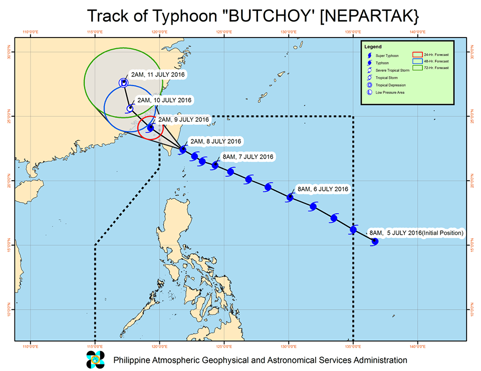
MANILA, Philippines – Typhoon Nepartak, known in the Philippines as Butchoy, made landfall in Taiwan early Friday morning, July 8, but continues to enhance the southwest monsoon here.
The typhoon slightly weakened as it hit land and now has maximum winds of 195 kilometers per hour (km/h) and gustiness of up to 230 km/h.
As of 6 am, Butchoy was 240 kilometers north northwest of Itbayat, Batanes, still inside the Philippine Area of Responsibility (PAR). It is moving west northwest at 15 km/h.
Signal number 2 is still raised over Batanes, while the Babuyan Group of Islands remains under signal number 1.
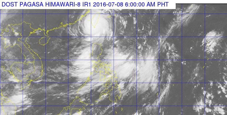
State weather bureau PAGASA said there would be moderate to heavy rains within the typhoon’s 650-km diameter.
PAGASA also advised fishermen not to set sail in the northern and eastern seaboards of Luzon and the southern and western seaboards of Southern Luzon.
Butchoy is expected to leave PAR by Friday evening.
In the meantime, it continues to enhance the southwest monsoon, which will bring moderate to occasionally heavy rains to Zambales, Bataan, Batangas, Cavite, and Mindoro.
PAGASA has been issuing rainfall warnings for these areas, plus Metro Manila.
Classes have also been suspended in parts of Luzon. (READ: Class suspensions: Friday, July 8)
– Rappler.com
Add a comment
How does this make you feel?
There are no comments yet. Add your comment to start the conversation.