SUMMARY
This is AI generated summarization, which may have errors. For context, always refer to the full article.
What’s the weather like in your area? Tweet us the situation: Use #weatheralert and tag @rapplerdotcom.
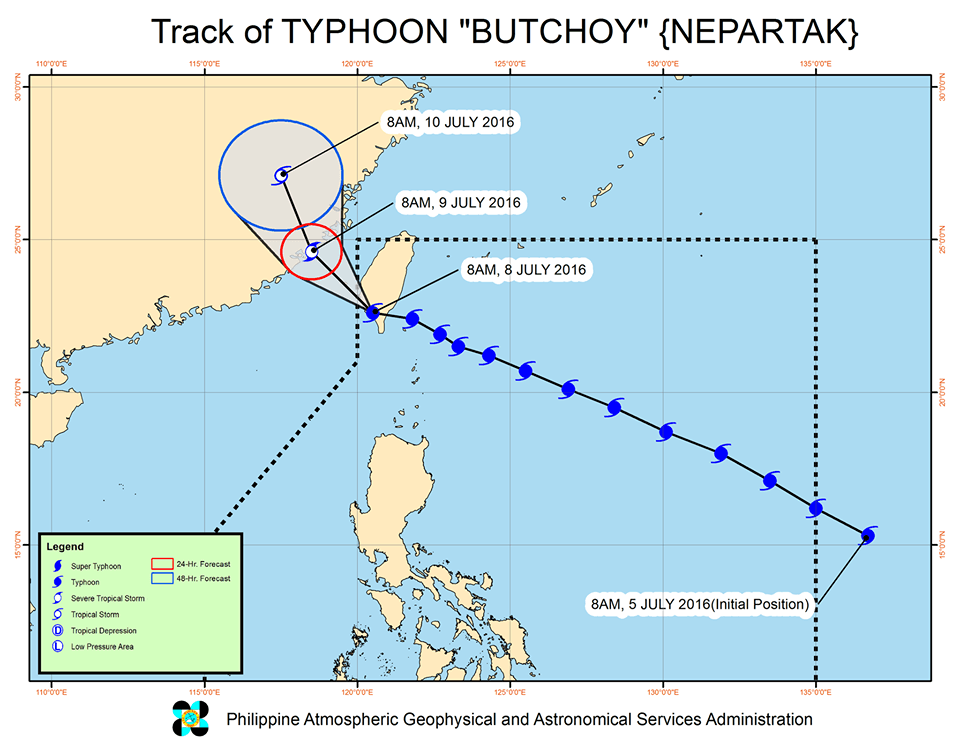
MANILA, Philippines – Typhoon Butchoy (Nepartak) continued to enhance the southwest monsoon in the Philippines on Friday, July 8, after making landfall in Taiwan earlier, around 6 am.
As of 10 am, Butchoy was 260 kilometers northwest of Itbayat, Batanes, still inside the Philippine Area of Responsibility (PAR). It is moving northwest at 13 kilometers per hour (km/h) and will leave PAR on Friday afternoon.
The typhoon weakened further after it hit land in Taiwan and now has maximum winds of 165 km/h and gustiness of up to 200 km/h.
Signal number 1 is raised over Batanes, down from signal number 2 earlier.
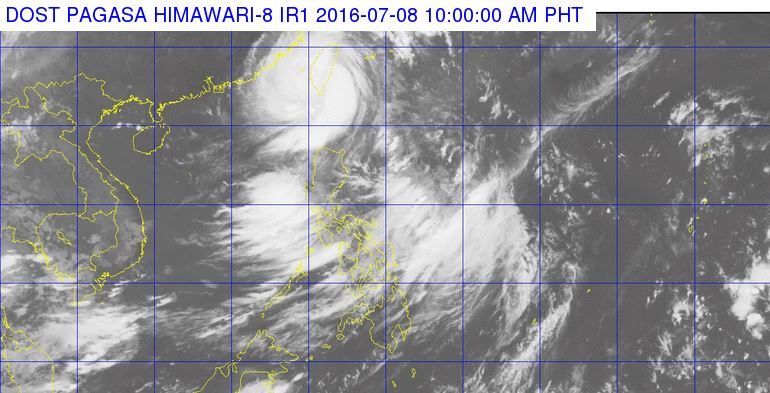
State weather bureau PAGASA said there would be moderate to heavy rains within the typhoon’s 600-km diameter.
The enhanced southwest monsoon will bring moderate to occasionally heavy rains to Zambales, Bataan, Batangas, Cavite, and Mindoro.
Metro Manila is also experiencing monsoon rains.
The rains have prompted the suspension of classes in parts of Luzon. (READ: Class suspensions: Friday, July 8)
Meanwhile, PAGASA said fishermen should not set sail in the southern and western seaboards of Luzon.
– Rappler.com
Add a comment
How does this make you feel?
There are no comments yet. Add your comment to start the conversation.