SUMMARY
This is AI generated summarization, which may have errors. For context, always refer to the full article.
What’s the weather like in your area? Tweet us the situation: Use #weatheralert and tag @rapplerdotcom.
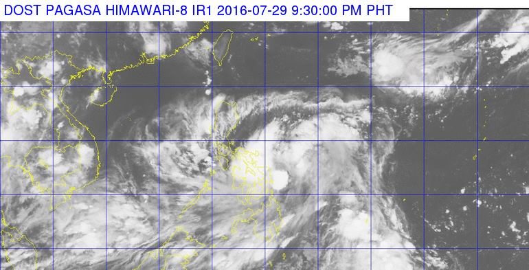
MANILA, Philippines – Tropical Depression Carina slightly intensified late Friday evening, July 29.
In its bulletin issued 11 pm on Friday, state weather bureau PAGASA said Carina now has maximum winds of 55 kilometers per hour (km/h) near the center.
Moderate to heavy rains are expected within the 300-km diameter of the tropical depression.
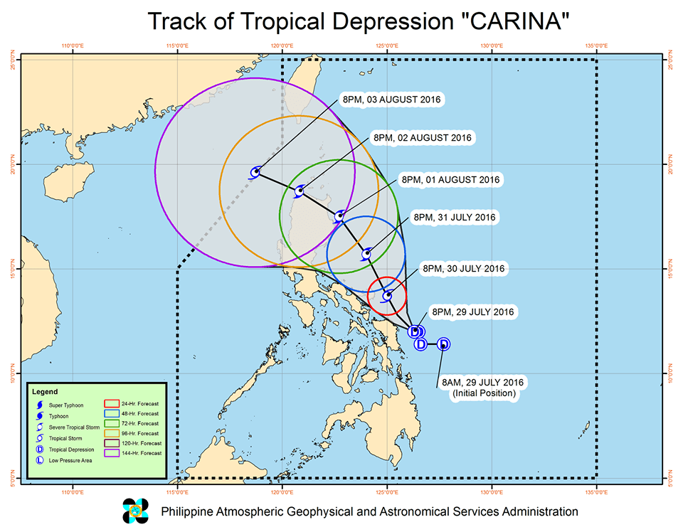
As of 10 pm, Carina was 180 km east southeast of Catarman, Northern Samar, moving northwest at 9 km/h.
Signal number 1 is raised over the following provinces in Luzon and the Visayas:
- Catanduanes
- Camarines Sur
- Albay
- Sorsogon
- Northern Samar
- Eastern Samar
- Samar
These provinces should be on alert for possible floods and landslides.

PAGASA also warned fishermen that coastal waters in the eastern seaboard of Luzon and the Visayas would be moderate to rough.
Carina is expected to leave the Philippine Area of Responsibility (PAR) on Wednesday, August 3.
– Rappler.com
Add a comment
How does this make you feel?
There are no comments yet. Add your comment to start the conversation.