SUMMARY
This is AI generated summarization, which may have errors. For context, always refer to the full article.
What’s the weather like in your area? Report the situation through Rappler’s Agos or tweet us at @rapplerdotcom.
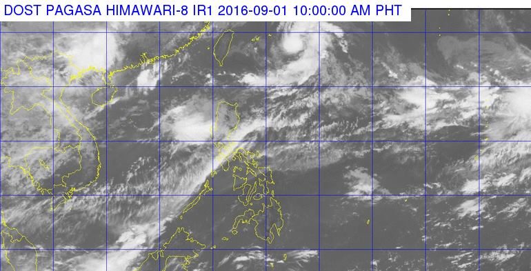
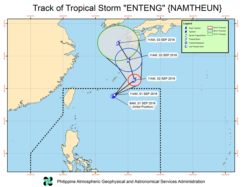
MANILA, Philippines – The low pressure area off Batanes intensified into a tropical cyclone on Thursday morning, September 1.
It first became a tropical depression, according to the 9 am bulletin of state weather bureau PAGASA, then strengthened further into a tropical storm, stated the 11:15 am bulletin.
The tropical storm, internationally called Namtheun, has been given the local name Enteng.
It was last spotted 730 kilometers northeast of Itbayat, Batanes, moving northeast – or away from the country – at 19 kilometers per hour (km/h).
Enteng has maximum winds of up to 65 km/h and gustiness of up to 80 km/h.
Since the tropical storm is too far from land, there are no areas under tropical cyclone warning signals.
Enteng will not make landfall as well, but PAGASA said it is enhancing the southwest monsoon.
The southwest monsoon will bring moderate to heavy rain to Pangasinan, La Union, and Benguet. These provinces should watch out for possible floods and landslides.
Based on Enteng’s forecast track, it will immediately leave the Philippine Area of Responsibility (PAR) either late Thursday night or early Friday, September 2.
– Rappler.com
Add a comment
How does this make you feel?
There are no comments yet. Add your comment to start the conversation.