SUMMARY
This is AI generated summarization, which may have errors. For context, always refer to the full article.
What’s the weather like in your area? Report the situation through Rappler’s Agos or tweet us at @rapplerdotcom.
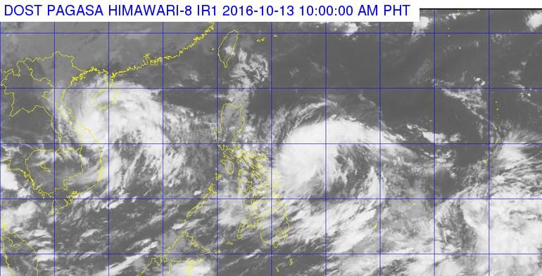
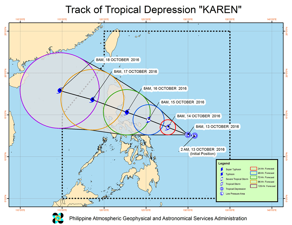
MANILA, Philippines – Tropical Depression Karen slightly intensified on Thursday morning, October 13, as it continued to move west northwest at 11 kilometers per hour (km/h).
In its bulletin issued 11 am on Thursday, state weather bureau PAGASA said Karen now has maximum winds of up to 55 km/h near the center and gustiness of up to 70 km/h.
It is located 565 kilometers east of Catarman, Northern Samar.
Moderate to heavy rain is expected within the 300-km diameter of the tropical depression.
There are no areas under tropical cyclone warning signals, so far, but Karen is expected to strengthen further into a tropical storm by Friday, October 14, and then into a typhoon as it nears land.
– Rappler.com
Add a comment
How does this make you feel?
There are no comments yet. Add your comment to start the conversation.