SUMMARY
This is AI generated summarization, which may have errors. For context, always refer to the full article.
What’s the weather like in your area? Report the situation through Rappler’s Agos or tweet us at @rapplerdotcom.
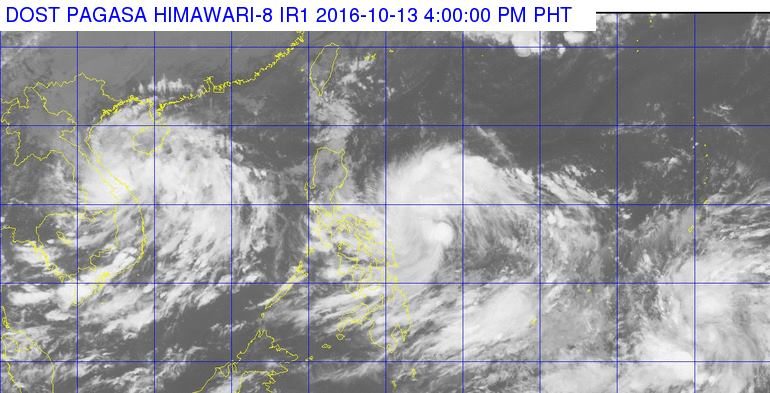
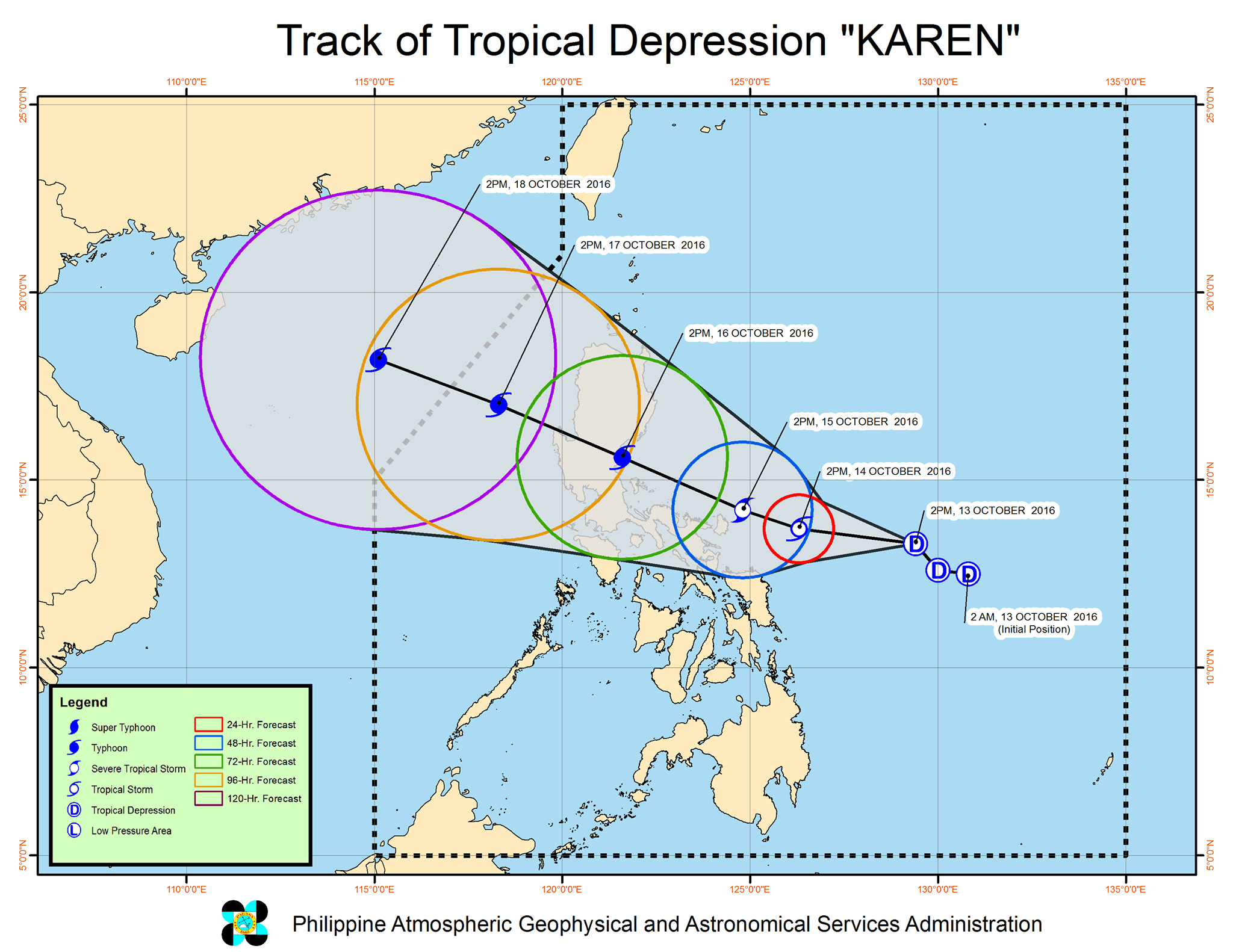
MANILA, Philippines – Tropical Depression Karen slightly accelerated on Thursday afternoon, October 13, as it moved closer to the Bicol Region.
In its bulletin issued 5 pm on Thursday, state weather bureau PAGASA said Karen is already 520 kilometers east of Virac, Catanduanes, moving west northwest at 13 kilometers per hour (km/h) from the previous 11 km/h.
It maintained its strength, with maximum winds of up to 55 km/h and gustiness of up to 70 km/h.
Signal number 1 is now raised in Catanduanes, while the rest of the Bicol Region could also be placed under signal number 1 by Thursday night or Friday morning, October 14.
Moderate to heavy rain is expected within the 300-km diameter of the tropical depression.
Karen is expected to strengthen further into a tropical storm on Friday, and then into a severe tropical storm by Saturday, October 15. It is then projected to intensify into a typhoon.
PAGASA is expected to release more specific details on Karen’s path in its succeeding bulletins.
– Rappler.com
Add a comment
How does this make you feel?
There are no comments yet. Add your comment to start the conversation.