SUMMARY
This is AI generated summarization, which may have errors. For context, always refer to the full article.
What’s the weather like in your area? Report the situation through Rappler’s Agos or tweet us at @rapplerdotcom.
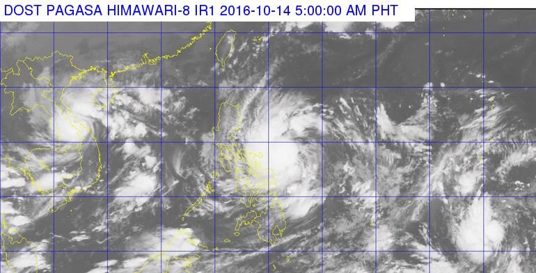
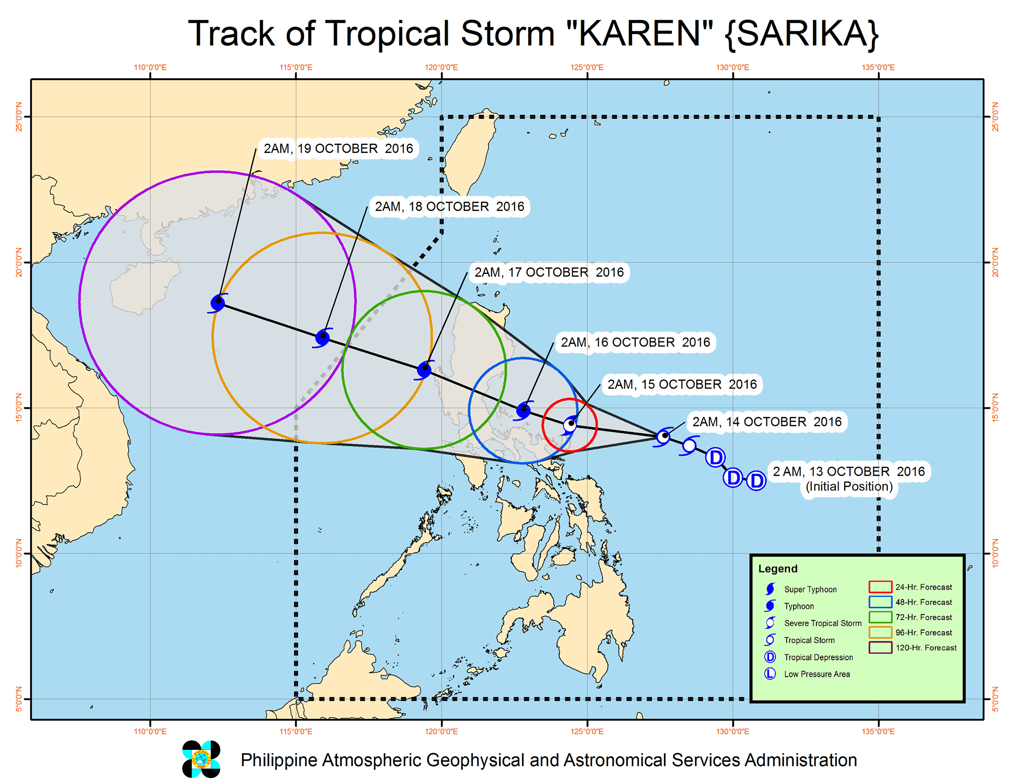
MANILA, Philippines – Tropical Storm Karen (Sarika) intensified further early Friday morning, October 14, as it continued moving towards the Bicol Region.
In its bulletin issued 5 am on Friday, state weather bureau PAGASA said Karen is 335 kilometers east of Virac, Catanduanes, still moving west northwest at 13 kilometers per hour (km/h).
It now has maximum winds of up to 75 km/h and gustiness of up to 95 km/h.
Signal number 2 is now raised in Catanduanes.
The following, meanwhile, are under signal number 1:
- Polillo Island
- southern Quezon
- Camarines Norte
- Camarines Sur
- Albay
- Sorsogon
- Northern Samar
Moderate to heavy rain is expected within the 400-km diameter of the tropical storm.
Karen is expected to strengthen further into a severe tropical storm and then into a typhoon.
PAGASA said fishermen and those in small sea vessels are advised not to set sail in the eastern seaboard of Central Luzon and Southern Luzon, and in the northern and eastern seaboards of Eastern Visayas.
Karen is expected to leave the Philippine Area of Responsibility (PAR) on Monday, October 17.
– Rappler.com
Add a comment
How does this make you feel?
There are no comments yet. Add your comment to start the conversation.