SUMMARY
This is AI generated summarization, which may have errors. For context, always refer to the full article.
What’s the weather like in your area? Report the situation through Rappler’s Agos or tweet us at @rapplerdotcom.
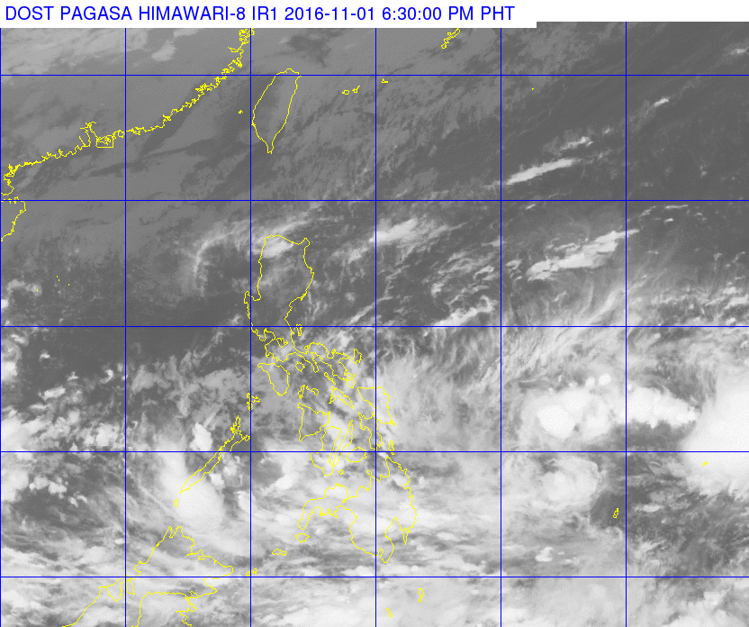
MANILA, Philippines – State weather bureau PAGASA is monitoring two low pressure areas (LPAs).
The first one is located 525 kilometers east northeast of Hinatuan, Surigao del Sur, said PAGASA in its bulletin issued 5 pm on Tuesday, November 1. The LPA is embedded along the intertropical convergence zone (ITCZ) affecting Southern Luzon, the Visayas, and Mindanao.
The second LPA, meanwhile, is still outside the Philippine Area of Responsibility (PAR) – at 1,735 kilometers east of the Visayas. This LPA could enter PAR either Wednesday night, November 2, or Thursday morning, November 3.
PAGASA told Rappler that the two LPAs might merge or just remain separate.
The second LPA has a bigger chance of becoming a tropical depression compared to the first LPA. If it intensifies, it will be named Marce.
In the meantime, the first LPA and the ITCZ will bring light to moderate rain and thunderstorms to Bicol, Mimaropa, Calabarzon, the Visayas, and Mindanao on Wednesday.
Light to moderate rain is also expected in Cagayan and Ilocos Norte.
The rest of Luzon, including Metro Manila, will have just isolated rainshowers or thunderstorms.
PAGASA also said coastal waters in Luzon and Eastern Visayas will be moderate to rough, with moderate to strong winds. – Rappler.com
Add a comment
How does this make you feel?
There are no comments yet. Add your comment to start the conversation.