SUMMARY
This is AI generated summarization, which may have errors. For context, always refer to the full article.
What’s the weather like in your area? Report the situation through Rappler’s Agos or tweet us at @rapplerdotcom.
MANILA, Philippines – Expect rain across the country on Thursday, November 3.
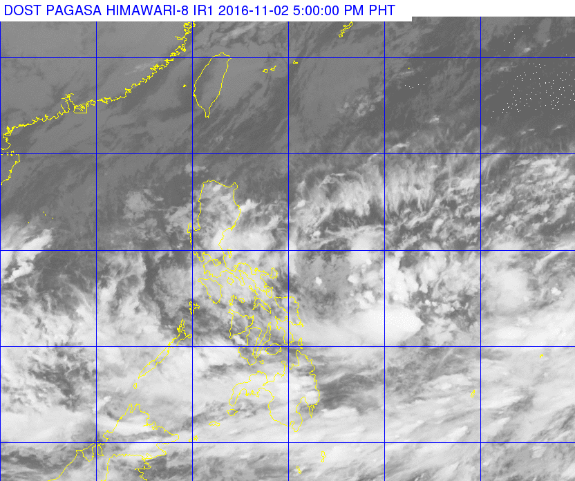
In its bulletin issued 5 pm on Wednesday, November 2, state weather bureau PAGASA said the intertropical convergence zone (ITCZ) is still affecting Southern Luzon, the Visayas, and Mindanao.
The northeast monsoon is also affecting Northern Luzon and Central Luzon.
Light to moderate rain and thunderstorms are expected in the Visayas and Mindanao, as well as the regions of Bicol, Mimaropa, and Calabarzon.
The rest of Luzon, including Metro Manila, will have light rain.
PAGASA also earlier announced that a tropical depression is expected to enter the Philippine Area of Responsibility (PAR) on Thursday morning. It will be named Marce.
As of 4 pm on Wednesday, the tropical depression was already 1,440 kilometers east of the Visayas, moving northwest at 17 kilometers per hour (km/h).
It has maximum winds of up to 45 km/h and gustiness of up to 55 km/h.
There’s also another tropical depression outside PAR, much farther at 2,920 kilometers east of Luzon.
This second tropical depression is moving west northwest at 25 km/h, with maximum winds of up to 55 km/h and gustiness of up to 70 km/h.
PAGASA will release more details about these tropical depressions as they approach the country. – Rappler.com
Add a comment
How does this make you feel?
There are no comments yet. Add your comment to start the conversation.