SUMMARY
This is AI generated summarization, which may have errors. For context, always refer to the full article.
What’s the weather like in your area? Report the situation through Rappler’s Agos or tweet us at @rapplerdotcom.
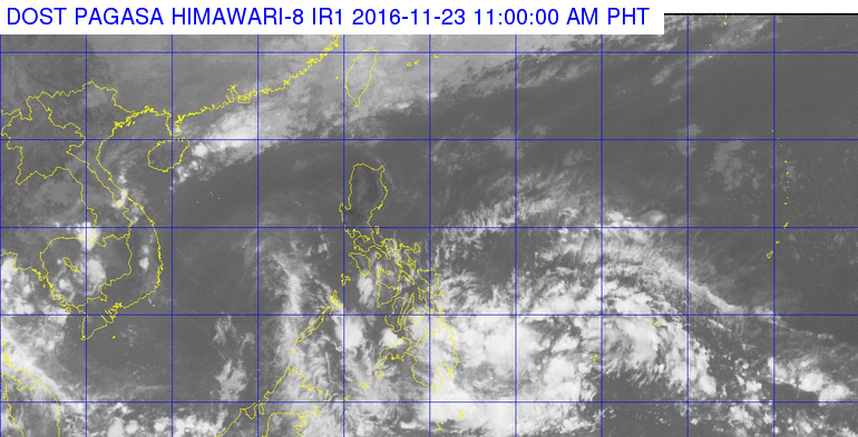
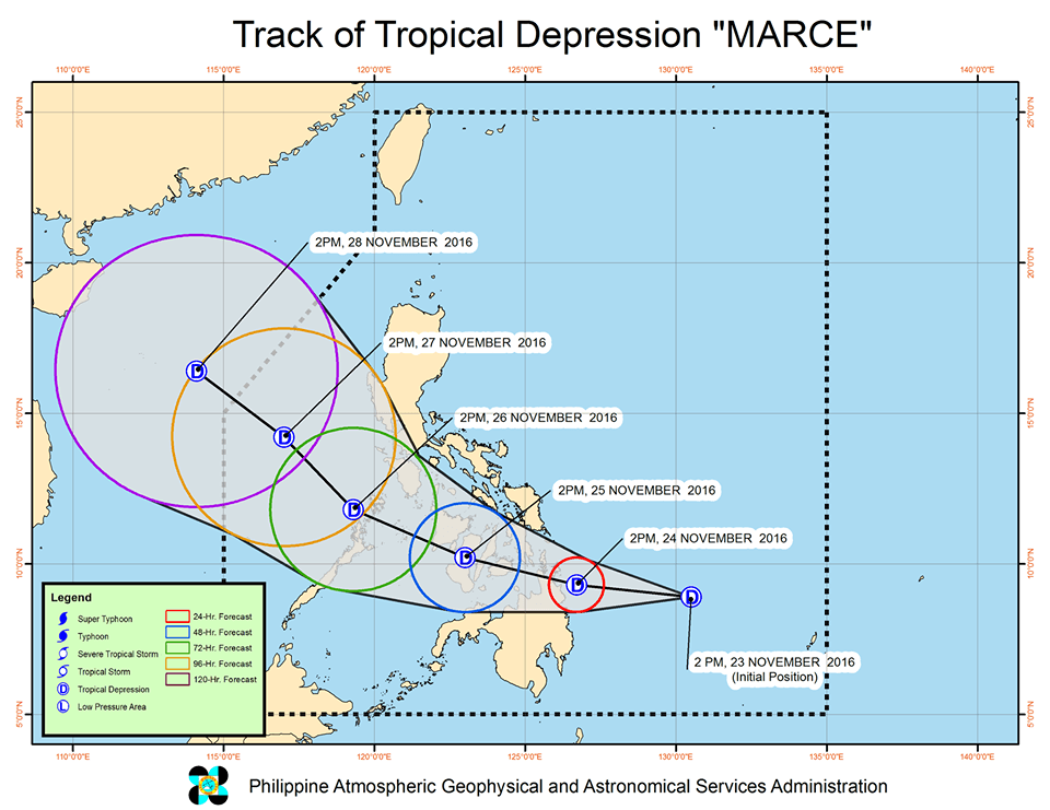
MANILA, Philippines – A low pressure area (LPA) off Mindanao intensified into a tropical depression on Wednesday afternoon, November 23, and was named Marce.
In its bulletin issued 5 pm on Wednesday, state weather bureau PAGASA said Tropical Depression Marce is 420 kilometers east of Hinatuan, Surigao del Sur. It is moving west northwest at 17 kilometers per hour (km/h).
Marce has maximum winds of up to 45 km/h and gustiness of up to 55 km/h.
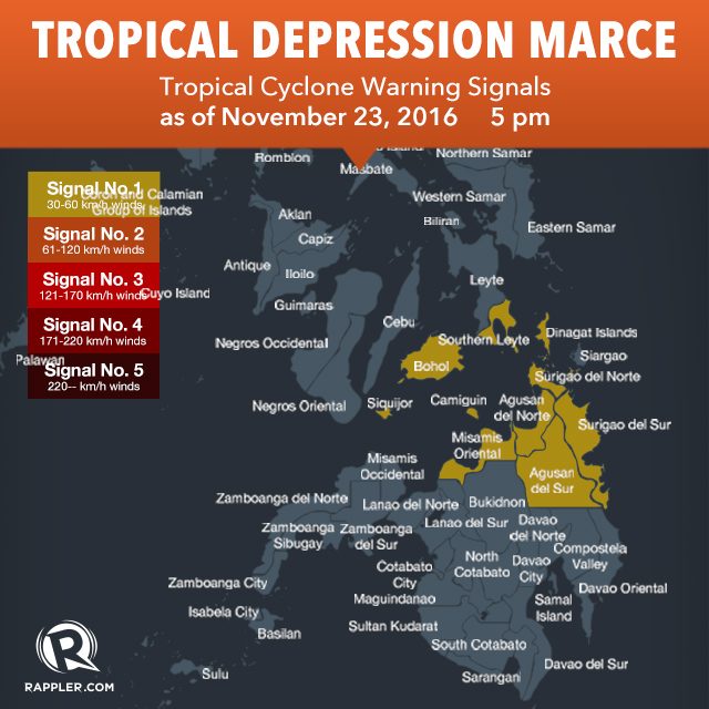
Signal number 1 is raised in the following areas:
- Southern Leyte
- Bohol
- Siquijor
- Surigao del Norte
- Surigao del Sur
- Dinagat Islands
- Agusan del Norte
- Agusan del Sur
- Misamis Oriental
- Camiguin
Moderate to heavy rainfall is expected within the 200-km diameter of the tropical depression.
PAGASA said Marce is expected to make landfall in the Surigao provinces on Thursday afternoon or early evening, November 24.
It is expected to leave the Philippine Area of Responsibility (PAR) on Monday morning, November 28.
– Rappler.com
Add a comment
How does this make you feel?
There are no comments yet. Add your comment to start the conversation.