SUMMARY
This is AI generated summarization, which may have errors. For context, always refer to the full article.
What’s the weather like in your area? Report the situation through Rappler’s Agos or tweet us at @rapplerdotcom.
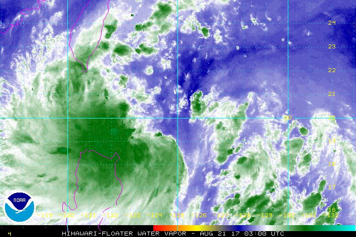
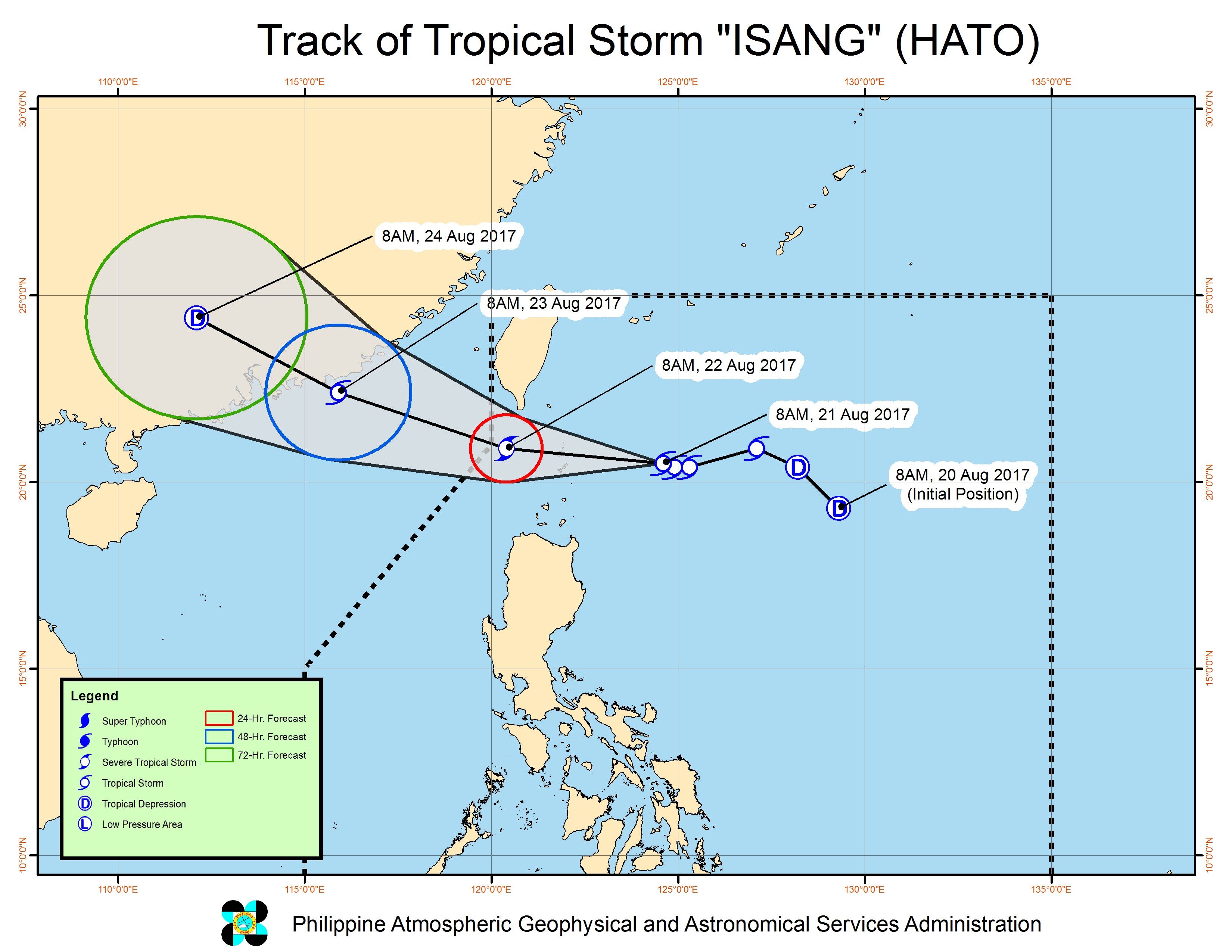
MANILA, Philippines – Tropical Storm Isang (Hato) intensified on Monday morning, August 21, as it continued moving toward extreme Northern Luzon.
In a bulletin issued 11 am on Monday, state weather bureau PAGASA said Isang is already 275 kilometers east of Basco, Batanes, still moving west northwest at 17 kilometers per hour (km/h).
The tropical storm now has maximum winds of 80 km/h and gustiness of up to 97 km/h.
Batanes remains under signal number 2, while the Babuyan Group of Islands is still under signal number 1.
Isang will be closest to Batanes late Monday evening or early Tuesday morning, August 22. The tropical storm might make landfall in the Batanes area.
The tropical storm is also enhancing the southwest monsoon, which is bringing light to heavy rain to Metro Manila, Central Luzon, Calabarzon, Mimaropa, Bicol, and the Visayas.
According to PAGASA, these areas should watch out for possible flash floods and landslides.
Isang is expected to leave the Philippine Area of Responsibility (PAR) on Tuesday.
– Rappler.com
Add a comment
How does this make you feel?
There are no comments yet. Add your comment to start the conversation.