SUMMARY
This is AI generated summarization, which may have errors. For context, always refer to the full article.
What’s the weather like in your area? Report the situation through Rappler’s Agos or tweet us at @rapplerdotcom.
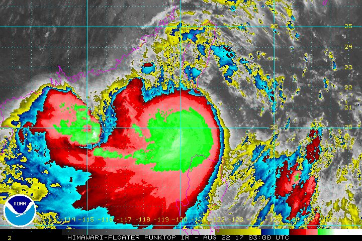
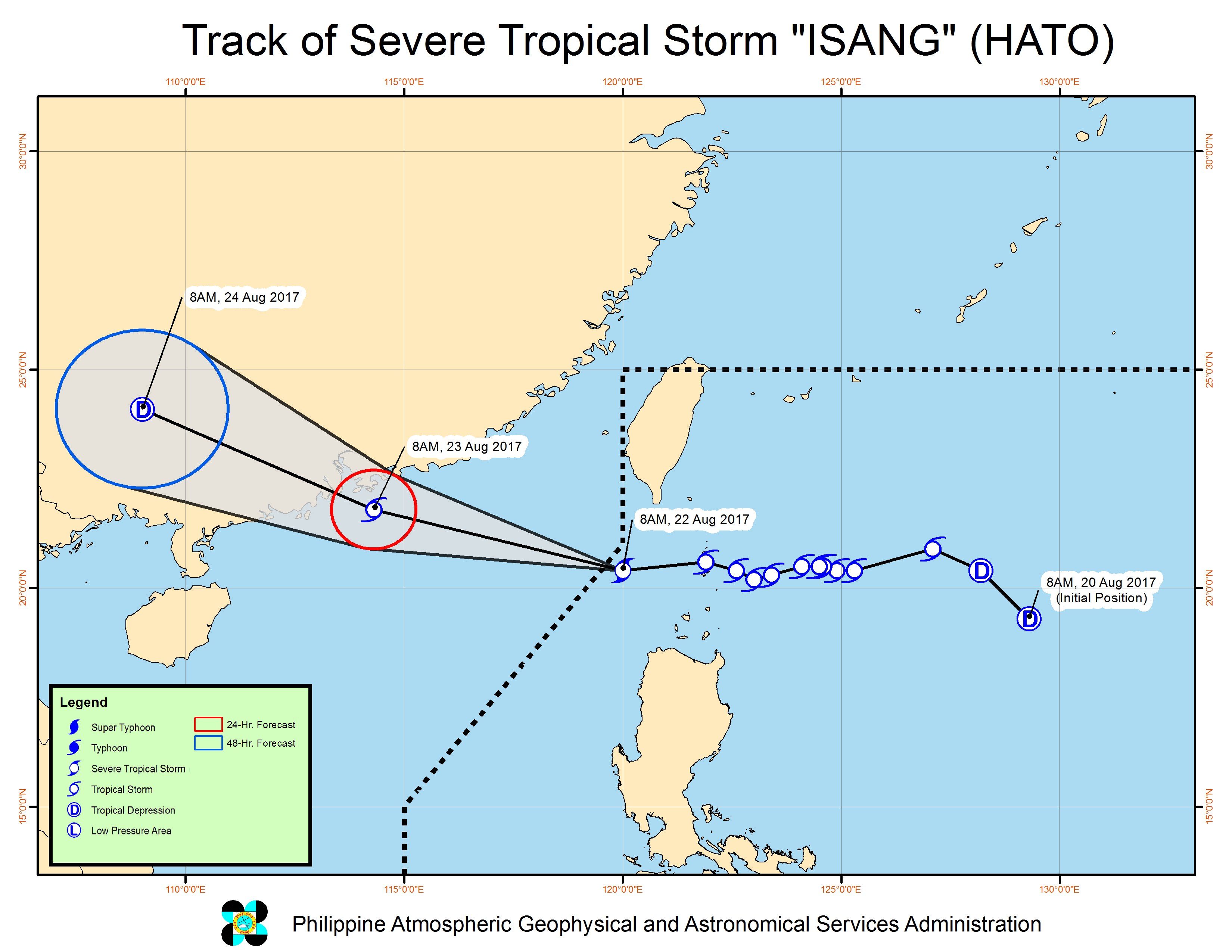
MANILA, Philippines – Isang (Hato) intensified into a severe tropical storm late Tuesday morning, August 22, a few hours ahead of its expected exit from the Philippine Area of Responsibility (PAR).
In a bulletin issued past 11 am on Tuesday, state weather bureau PAGASA said Isang now has maximum winds of 90 kilometers per hour (km/h) and gustiness of up to 113 km/h.
The severe tropical storm is already 220 kilometers west of Basco, Batanes, moving west at a faster 23 km/h from the previous 20 km/h.
The following areas are under signal number 1:
- Batanes
- Babuyan Group of Islands
- Ilocos Norte
Isang is still enhancing the southwest monsoon, which is bringing light to heavy rain to the Visayas and the rest of Luzon, particularly in Metro Manila, Calabarzon, Mimaropa, Central Luzon, Cordillera Administrative Region (CAR), Ilocos, and Cagayan Valley.
According to PAGASA, flash floods and landslides remain possible in areas under tropical cyclone warning signals and in regions affected by the southwest monsoon.
Classes in parts of Luzon were suspended on Tuesday due to the heavy monsoon rain.
Isang is expected to leave PAR on Tuesday afternoon.
– Rappler.com
Add a comment
How does this make you feel?
There are no comments yet. Add your comment to start the conversation.