SUMMARY
This is AI generated summarization, which may have errors. For context, always refer to the full article.
What’s the weather like in your area? Report the situation through Rappler’s Agos or tweet us at @rapplerdotcom.
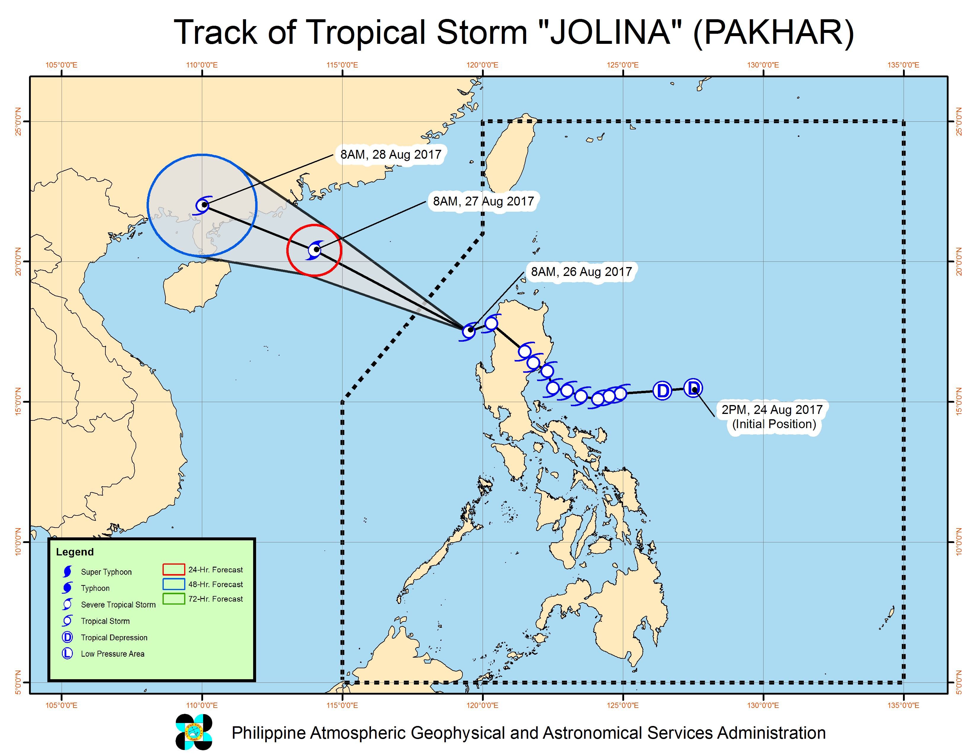
MANILA, Philippines – Tropical Storm Jolina (Pakhar) accelerated and reintensified over sea late Saturday morning, August 26, as it began to move away from the country.
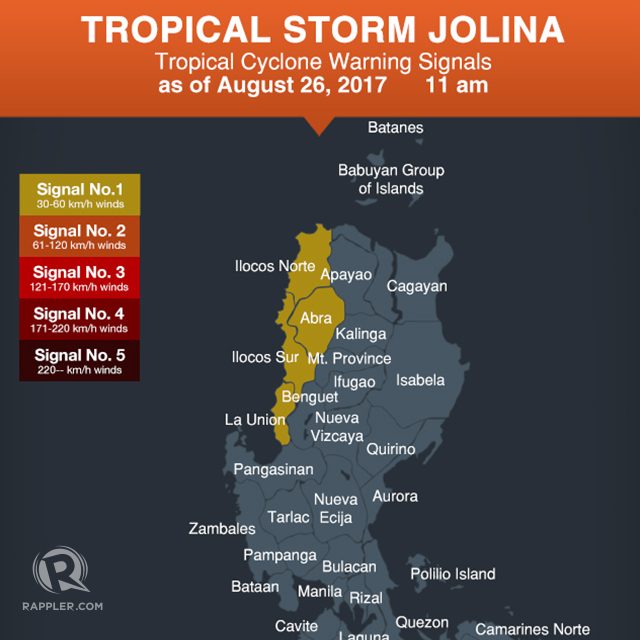
In a bulletin issued 11 am on Saturday, state weather bureau PAGASA said Jolina is already 120 kilometers west of Sinait, Ilocos Sur, moving west northwest at a faster 24 kilometers per hour (km/h) from the previous 20 km/h.
The tropical storm now has maximum winds of 80 km/h and gustiness of up to 95 km/h.
There are no more areas under signal number 2, while the following are under signal number 1:
- Ilocos Sur
- Ilocos Norte
- La Union
- Abra
Jolina had made landfall in Casiguran, Aurora on Friday evening, August 25. After hitting land, it then crossed Northern Luzon.
It is expected to leave the Philippine Area of Responsibility (PAR) on Saturday evening.
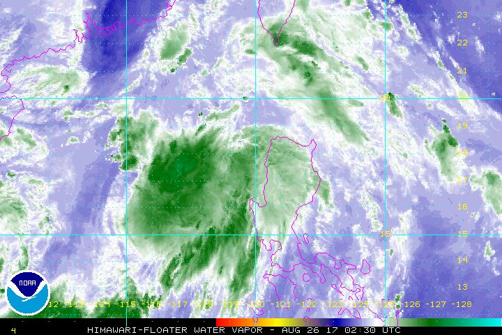
While Jolina is in PAR, it is also enhancing the southwest monsoon.
There will be monsoon rain in the western parts of Central Luzon and Southern Luzon, while light to occasionally heavy rain will persist in the rest of Luzon. Residents are advised to stay on alert for possible flash floods and landslides.
Sea travel also remains risky in the seaboards of Northern Luzon.
The weather will improve beginning Sunday, August 27. There will only be isolated rainshowers or thunderstorms in the country.
– Rappler.com
Add a comment
How does this make you feel?
There are no comments yet. Add your comment to start the conversation.