SUMMARY
This is AI generated summarization, which may have errors. For context, always refer to the full article.
What’s the weather like in your area? Report the situation through Rappler’s Agos or tweet us at @rapplerdotcom.
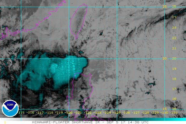
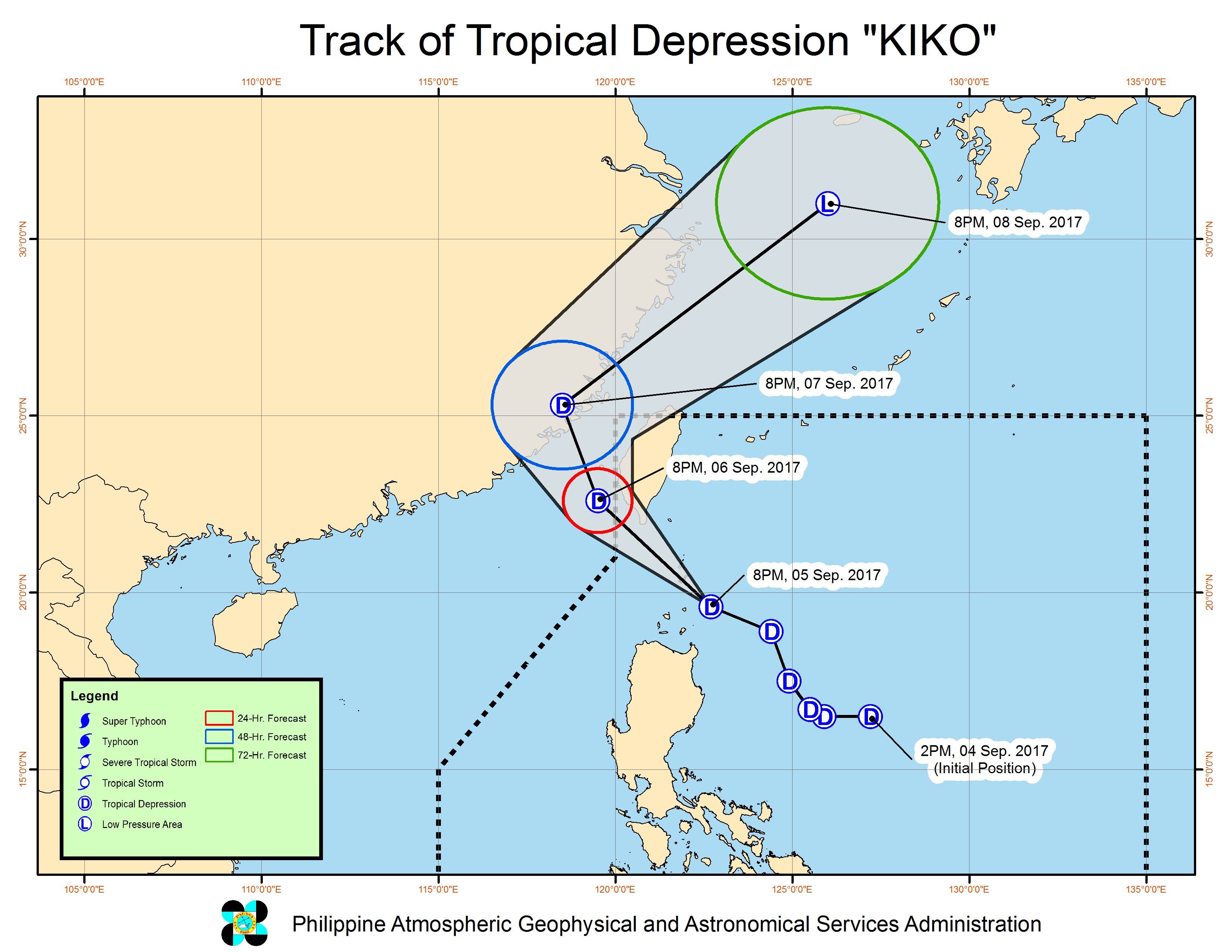
MANILA, Philippines – Tropical Depression Kiko maintained its strength and continued to threaten extreme Northern Luzon late Tuesday evening, September 5.
In a bulletin issued 11 pm on Tuesday, PAGASA said Kiko is already 105 kilometers east northeast of Calayan, Cagayan, still moving north northwest at 19 kilometers per hour (km/h).
It continues to have maximum winds of 55 km/h and gustiness of up to 65 km/h.
Signal number 1 remains raised over Batanes and the Babuyan Group of Islands. Kiko will be closest to Batanes on Wednesday morning, September 6.
The tropical depression is bringing moderate to heavy rain to Northern Luzon. Residents should stay on alert for possible flash floods and landslides, especially within the next 12 hours.
Light to moderate rain is also expected in the rest of Luzon, including Metro Manila.
Because of the tropical depression, sea travel is risky in the northern and eastern seaboards of Northern Luzon and the eastern seaboard of Central Luzon.
Kiko is expected to leave the Philippine Area of Responsibility (PAR) either late Wednesday evening or early Thursday morning, September 7.
– Rappler.com
Add a comment
How does this make you feel?
There are no comments yet. Add your comment to start the conversation.