SUMMARY
This is AI generated summarization, which may have errors. For context, always refer to the full article.
What’s the weather like in your area? Report the situation through Rappler’s Agos or tweet us at @rapplerdotcom.
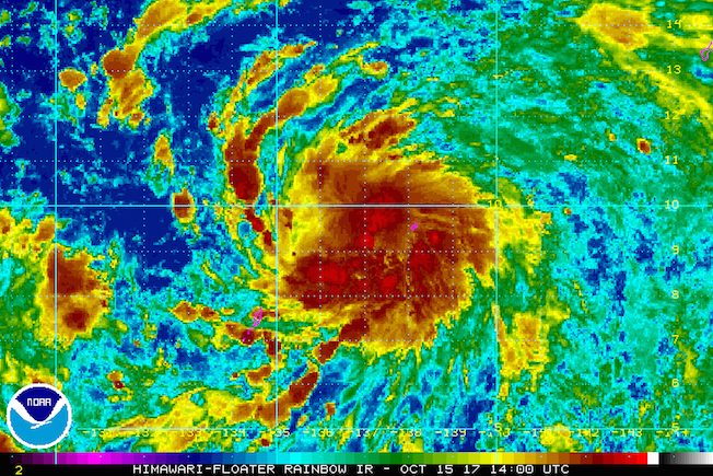
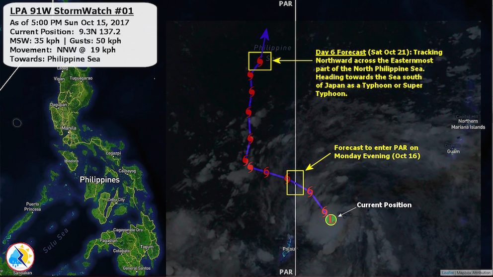
MANILA, Philippines – State weather bureau PAGASA is monitoring a low pressure area (LPA) that is expected to enter the Philippine Area of Responsibility (PAR) on Monday, October 16.
In a bulletin issued 4 pm on Sunday, October 15, PAGASA said the LPA was located 1,280 kilometers east of Mindanao.
The state weather bureau added that the LPA could intensify into a tropical depression. If it strengthens inside PAR, it will be given the local name Paolo. (READ: FAST FACTS: Tropical cyclones, rainfall advisories)
In a separate advisory, privately run WeatherPhilippines Foundation said there is a chance that the weather disturbance will not make landfall in the Philippines, based on initial projections of its track.
Meanwhile, PAGASA said the intertropical convergence zone (ITCZ) is affecting Southern Luzon, the Visayas, and Mindanao.
On Monday, there will be light to moderate rain in Mimaropa, Western Visayas, and Mindanao.
The rest of the country, including Metro Manila, will have isolated rainshowers or thunderstorms, mostly in the afternoon or evening.
– Rappler.com
Add a comment
How does this make you feel?
There are no comments yet. Add your comment to start the conversation.