SUMMARY
This is AI generated summarization, which may have errors. For context, always refer to the full article.
What’s the weather like in your area? Report the situation through Rappler’s Agos or tweet us at @rapplerdotcom.
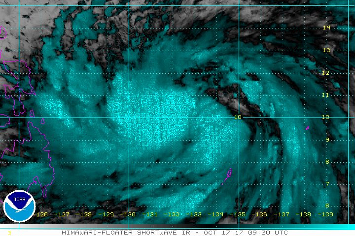
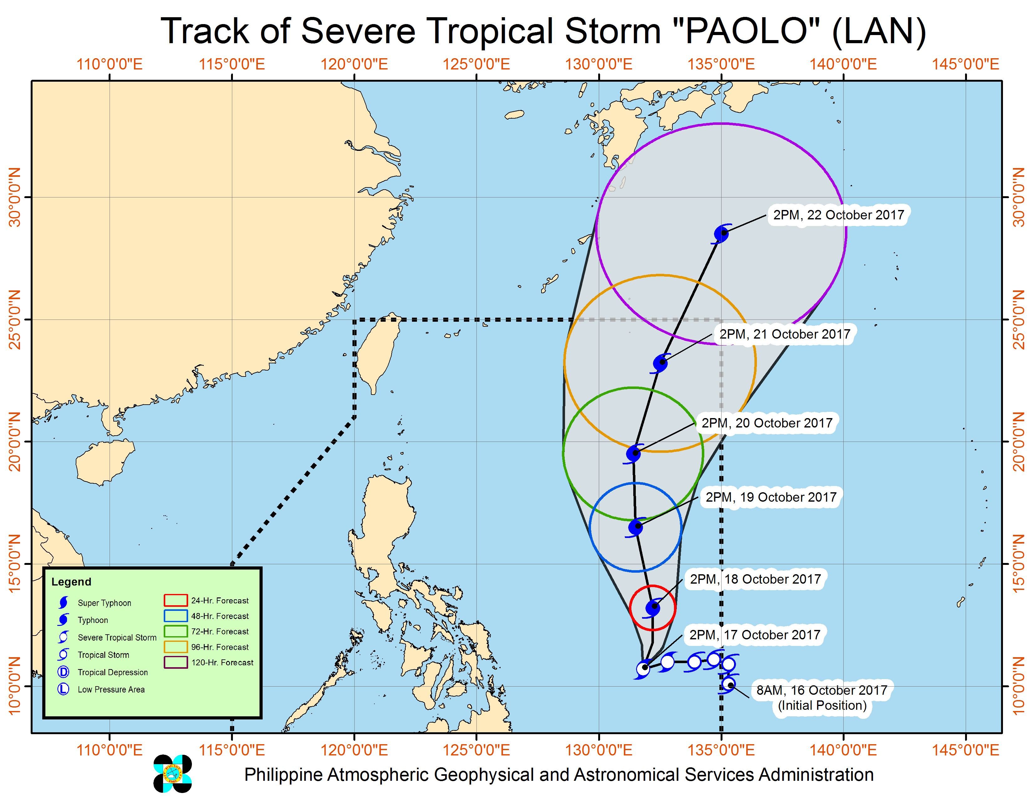
MANILA, Philippines – While Severe Tropical Storm Paolo (Lan) is not expected to hit land, its spiral bands are still affecting parts of the country.
In a briefing past 5 pm on Tuesday, October 17, state weather bureau PAGASA said Paolo is already 655 kilometers east of Guiuan, Eastern Samar. It is moving north northeast at a slightly faster 10 kilometers per hour (km/h) from the previous 7 km/h, though its speed remains slow.
The severe tropical storm maintained its strength, with maximum winds of 90 km/h and gustiness of up to 115 km/h.
PAGASA said Paolo could strengthen into a typhoon within 24 hours, or by Wednesday afternoon, October 18.
Due to Paolo’s spiral bands, light to heavy rain is expected in Bicol, the Visayas, and Mindanao. These areas should watch out for possible floods and landslides.
There are no areas under tropical cyclone warning signals since the severe tropical storm is too far from land.
Paolo is not expected to make landfall, with its track showing it moving upward instead of approaching the Philippines. (READ: FAST FACTS: Tropical cyclones, rainfall advisories)
It is expected to leave the Philippine Area of Responsibility (PAR) on Sunday, October 22.
PAGASA also continues to monitor a low pressure area (LPA), which has a slim chance of developing into a tropical cyclone.
The LPA is already 270 kilometers west southwest of Coron, Palawan, bringing light to heavy rain to the province. (READ: Puerto Princesa Underground River tours suspended due to LPA)
Meanwhile, the rest of Luzon, including Metro Manila, will only have localized thunderstorms.
Coastal waters in the country are moderate to rough. – Rappler.com
Add a comment
How does this make you feel?
There are no comments yet. Add your comment to start the conversation.