SUMMARY
This is AI generated summarization, which may have errors. For context, always refer to the full article.
What’s the weather like in your area? Report the situation through Rappler’s Agos or tweet us at @rapplerdotcom.
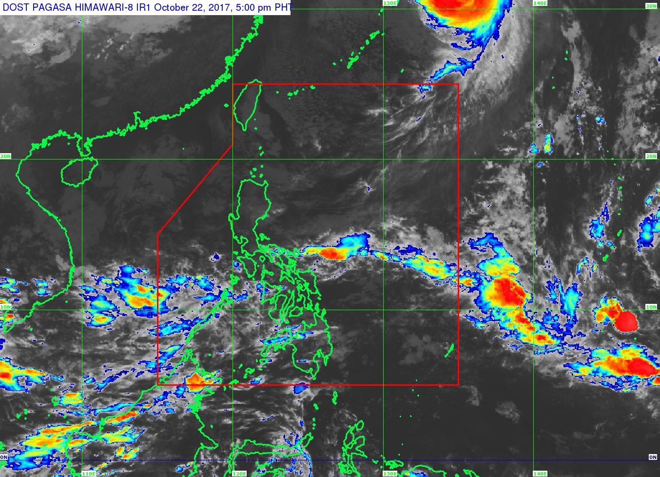
MANILA, Philippines – State weather bureau PAGASA warned parts of the country to expect moderate to heavy rain on Monday, October 23, due to the intertropical convergence zone (ITCZ).
The ITCZ is a belt near the equator where the trade winds of the Northern Hemisphere and Southern Hemisphere meet, usually causing low pressure areas or thunderstorms. (READ: FAST FACTS: Tropical cyclones, rainfall advisories)
In a bulletin issued 4 pm on Sunday, October 22, PAGASA said the ITCZ will bring rain to Bicol, Mimaropa, Western Visayas, and the Zamboanga Peninsula. These areas should be on alert for possible floods and landslides.
The rest of the country, including Metro Manila, will only have isolated rainshowers or thunderstorms, mostly in the afternoon or evening. Flash floods are still possible.
PAGASA also warned that coastal waters in the Philippines are moderate to rough.
Typhoon Paolo (Lan) had left the Philippine Area of Responsibility (PAR) early Sunday. It then headed for Japan, which was holding national elections. – Rappler.com
Add a comment
How does this make you feel?
There are no comments yet. Add your comment to start the conversation.