SUMMARY
This is AI generated summarization, which may have errors. For context, always refer to the full article.
What’s the weather like in your area? Report the situation through Rappler’s Agos or tweet us at @rapplerdotcom.
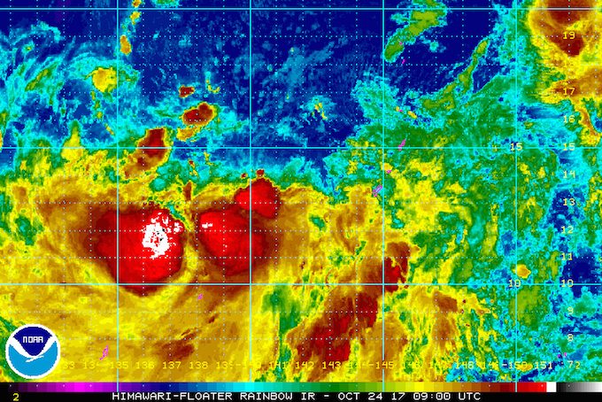
MANILA, Philippines – State weather bureau PAGASA is monitoring a tropical storm with the international name Saola, which is still outside the Philippine Area of Responsibility (PAR).
In a bulletin issued 4 pm on Tuesday, October 24, PAGASA said Saola is located 1,970 kilometers east of Luzon, moving northwest at a fast 30 kilometers per hour (km/h).
It has maximum winds of 65 km/h and gustiness of up to 80 km/h.
In a briefing, PAGASA forecaster Aldczar Aurelio said Saola is expected to enter PAR within 24 to 36 hours. It will be given the local name Quedan once it is inside PAR.
The tropical storm is projected to follow the same track as Typhoon Paolo (Lan), which did not hit land in the Philippines and moved upwards toward Japan. But since Paolo had a wide diameter, its outer rainbands still brought rain to the Philippines.
Meanwhile, Palawan, the Visayas, and Mindanao will have light to heavy rain on Wednesday, October 25, due to the intertropical convergence zone (ITCZ). These areas should be on alert for possible flash floods and landslides.
The ITCZ is a belt near the equator where the trade winds of the Northern Hemisphere and Southern Hemisphere meet, usually causing low pressure areas or thunderstorms.
The rest of Luzon will only have light rain on Wednesday, due to the “northeasterly surface windflow.” (READ: FAST FACTS: Tropical cyclones, rainfall advisories) – Rappler.com
Add a comment
How does this make you feel?
There are no comments yet. Add your comment to start the conversation.