SUMMARY
This is AI generated summarization, which may have errors. For context, always refer to the full article.
What’s the weather like in your area? Report the situation through Rappler’s Agos or tweet us at @rapplerdotcom.
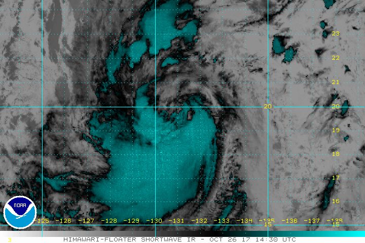
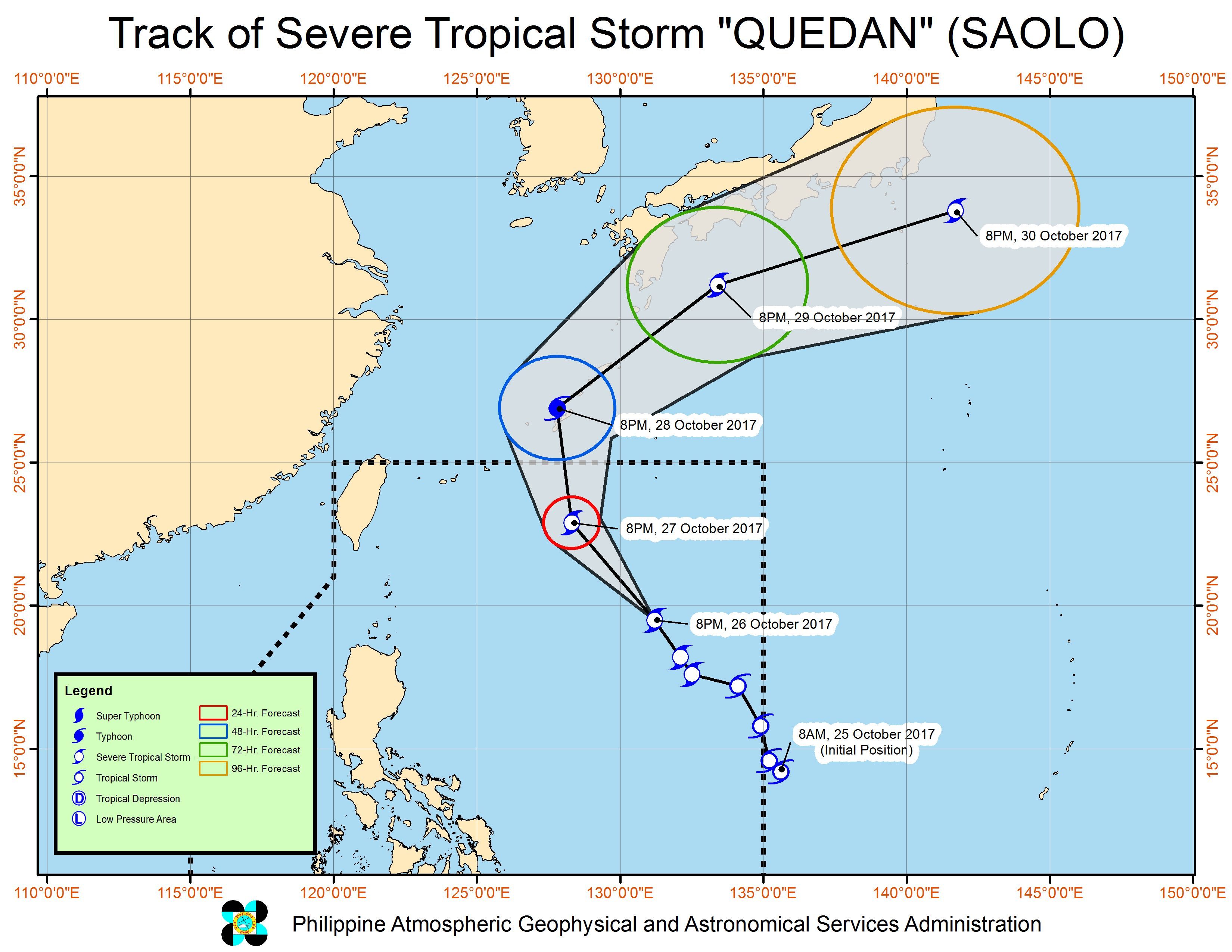
MANILA, Philippines – Severe Tropical Storm Quedan (Saola) maintained its strength as it continued to cross the Philippine Sea on Thursday evening, October 26.
In a bulletin issued 11 pm on Thursday, state weather bureau PAGASA said Quedan still has maximum winds of 90 kilometers per hour (km/h) and gustiness of up to 115 km/h.
But since Quedan is over water, it can still intensify into a typhoon within the next 36 hours.
The severe tropical storm is already 940 kilometers east of Basco, Batanes, moving north northwest at 21 km/h toward Japan.
Quedan is not expected to make landfall in the Philippines, but it has a wide diameter of 750 kilometers and its outer rainbands will bring rain to the eastern parts of Luzon.
In particular, Aurora will have scattered rainshowers and thunderstorms, while Batanes, Cagayan, Isabela, Nueva Vizcaya, Quirino, Ilocos Norte, Ilocos Sur, La Union, Pangasinan, Apayao, Kalinga, Ifugao, Abra, Mountain Province, and Benguet will have isolated light rains.
Sea travel is also risky in the seaboards of Northern Luzon and in the eastern seaboard of Central Luzon and Southern Luzon. (READ: FAST FACTS: Tropical cyclones, rainfall advisories)
Based on its latest forecast track, Quedan will leave the Philippine Area of Responsibility (PAR) on Saturday, October 28.
PAGASA also warned earlier that the intertropical convergence zone (ITCZ) would trigger light to heavy rain in the Zamboanga Peninsula, Northern Mindanao, and Caraga.
The ITCZ is a belt near the equator where the trade winds of the Northern Hemisphere and Southern Hemisphere meet. – Rappler.com
Add a comment
How does this make you feel?


There are no comments yet. Add your comment to start the conversation.