SUMMARY
This is AI generated summarization, which may have errors. For context, always refer to the full article.
What’s the weather like in your area? Report the situation through Rappler’s Agos or tweet us at @rapplerdotcom.
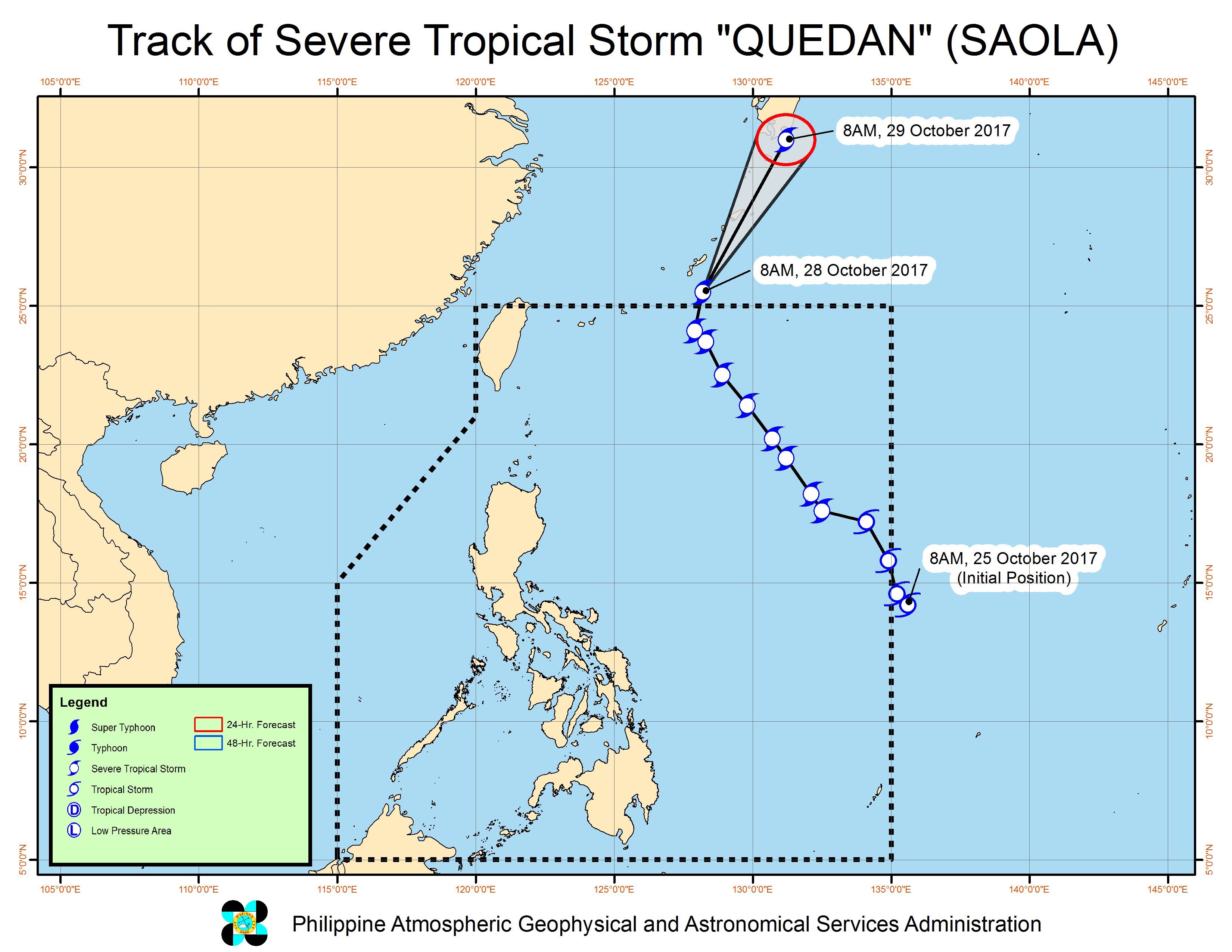
MANILA, Philippines – Severe Tropical Storm Quedan (Saola) left the Philippine Area of Responsibility (PAR) on Saturday morning, October 28.
In a bulletin issued 11 am on Saturday, state weather bureau PAGASA said Quedan is already 880 kilometers northeast of Basco, Batanes, moving north northeast at 25 kilometers per hour (km/h).
The severe tropical storm slightly strengthened on its way out of PAR, and now has maximum winds of 105 km/h and gustiness of up to 130 km/h.
Quedan did not make landfall in the Philippines, though its outer rainbands earlier brought some rain.
Though Quedan is no longer inside PAR, sea travel remains risky in the seaboards of Northern Luzon and in the eastern seaboard of Central Luzon.
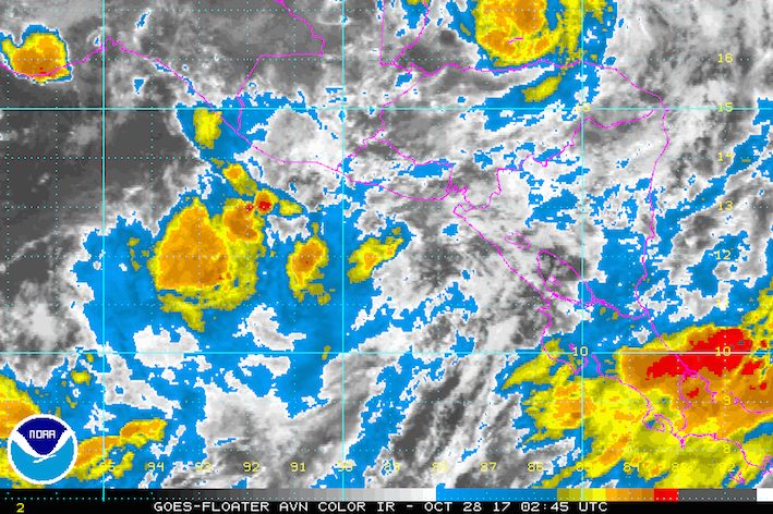
Meanwhile, those in the Zamboanga Peninsula, Northern Mindanao, Caraga, and Palawan should expect more light to heavy rain on Saturday, still due to the intertropical convergence zone (ITCZ).
The ITCZ is a belt near the equator where the trade winds of the Northern Hemisphere and Southern Hemisphere meet. (READ: FAST FACTS: Tropical cyclones, rainfall advisories)
The rest of the country will only have isolated rainshowers or thunderstorms on Saturday. – Rappler.com
Add a comment
How does this make you feel?
There are no comments yet. Add your comment to start the conversation.