SUMMARY
This is AI generated summarization, which may have errors. For context, always refer to the full article.
What’s the weather like in your area? Report the situation through Rappler’s Agos or tweet us at @rapplerdotcom.
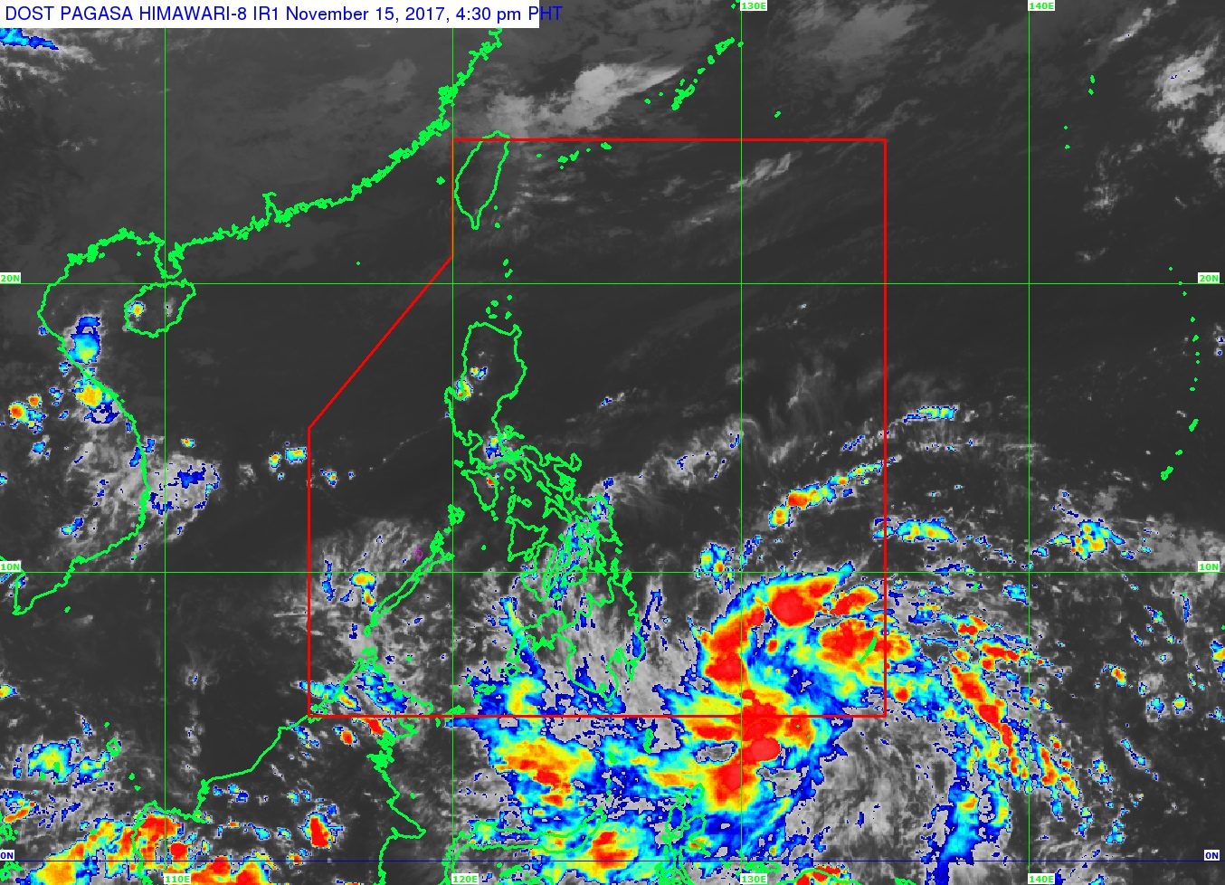
MANILA, Philippines – A low pressure area (LPA) is expected to bring rain to parts of Mindanao beginning Wednesday night, November 15.
In a bulletin issued 4 pm on Wednesday, state weather bureau PAGASA said the LPA is already 760 kilometers east southeast of Hinatuan, Surigao del Sur.
This LPA has just a slim chance of developing into a tropical cyclone, but it is seen to cross Mindanao. If the LPA becomes a tropical cyclone, it will be given the local name Tino. (READ: EXPLAINER: How tropical cyclones form)
PAGASA warned Caraga and Davao to brace for moderate to heavy rain which could trigger flash floods and landslides.
There will also be light to moderate rain in Northern Mindanao, the Zamboanga Peninsula, Autonomous Region in Muslim Mindanao (ARMM), and Soccsksargen. These areas should also be on alert for possible floods or landslides.
Meanwhile, the northeast monsoon is affecting Northern Luzon, but PAGASA said “no significant impact” is expected. Ilocos, Cordillera, and Cagayan Valley will only have light rain.
The rest of the country, including Metro Manila, will only have isolated rainshowers or thunderstorms. (READ: FAST FACTS: Tropical cyclones, rainfall advisories)
– Rappler.com
Add a comment
How does this make you feel?
There are no comments yet. Add your comment to start the conversation.