SUMMARY
This is AI generated summarization, which may have errors. For context, always refer to the full article.
What’s the weather like in your area? Report the situation through Rappler’s Agos or tweet us at @rapplerdotcom.
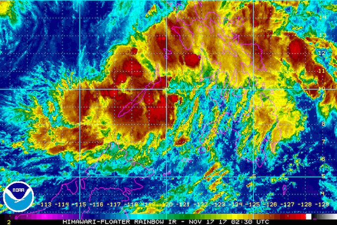
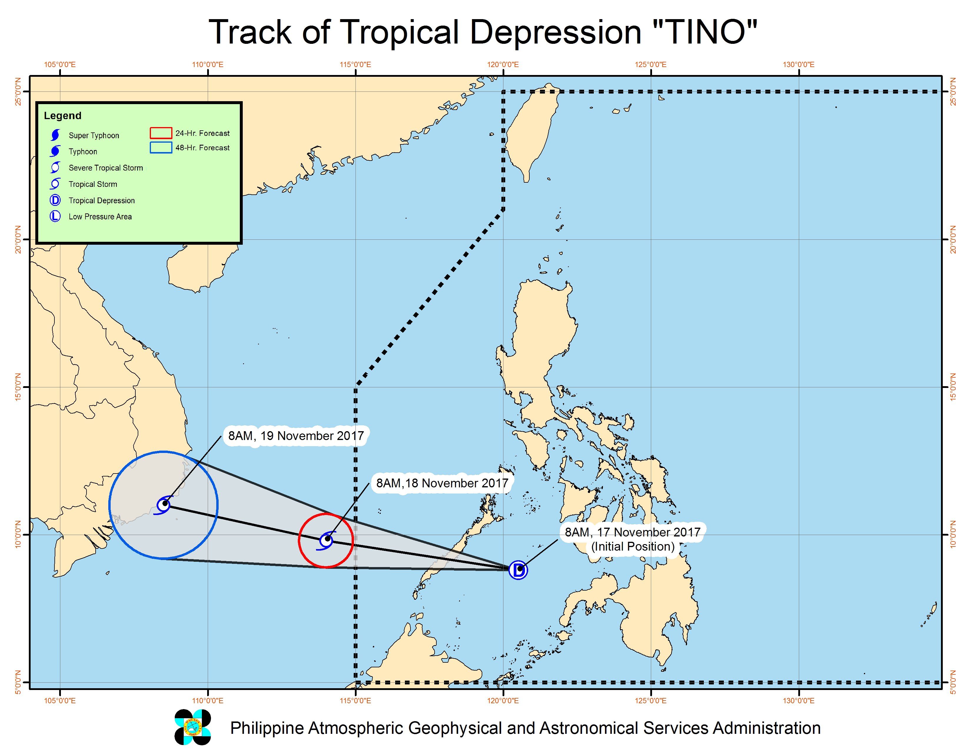
MANILA, Philippines – The low pressure area (LPA) off Puerto Princesa, Palawan intensified into a tropical depression on Friday morning, November 17. It has been named Tino.
In a bulletin issued 11 am on Friday, state weather bureau PAGASA said Tropical Depression Tino is 245 kilometers east southeast of Puerto Princesa, moving west northwest at a relatively fast 28 kilometers per hour (km/h).
Tino has maximum winds of 55 km/h and gustiness of up to 80 km/h. (READ: EXPLAINER: How tropical cyclones form)
Signal number 1 is now raised in the province of Palawan, where Tino is expected to make landfall between 4 pm and 6 pm on Friday. Flash floods and landslides are possible. (READ: FAST FACTS: Tropical cyclones, rainfall advisories)
Moderate to heavy rainfall is also expected within the 200-kilometer diameter of the tropical depression. This means residents of the rest of Mimaropa, Bicol, Eastern Visayas, Caraga, and Panay Island will also be affected, so they should brace for possible flash floods and landslides as well.
PAGASA also warned that sea travel is risky in Palawan, a tourist destination famous for its beaches.
If Tino maintains its speed of 28 km/h, it will leave the Philippine Area of Responsibility (PAR) by Saturday morning, November 18.
– Rappler.com
Add a comment
How does this make you feel?


There are no comments yet. Add your comment to start the conversation.