SUMMARY
This is AI generated summarization, which may have errors. For context, always refer to the full article.
What’s the weather like in your area? Report the situation through Rappler’s Agos or tweet us at @rapplerdotcom.
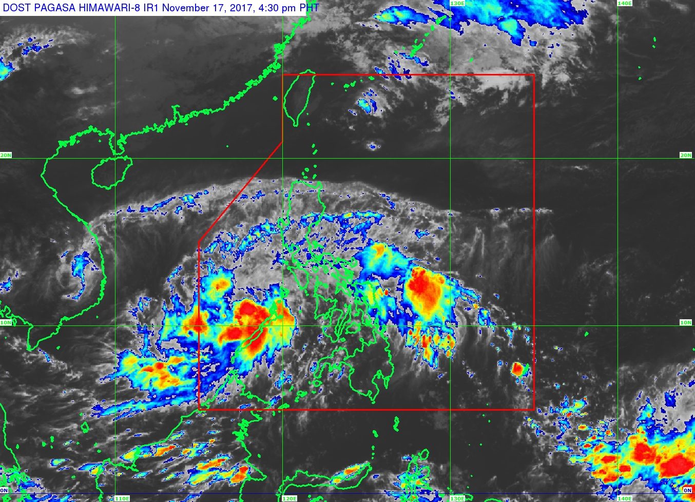
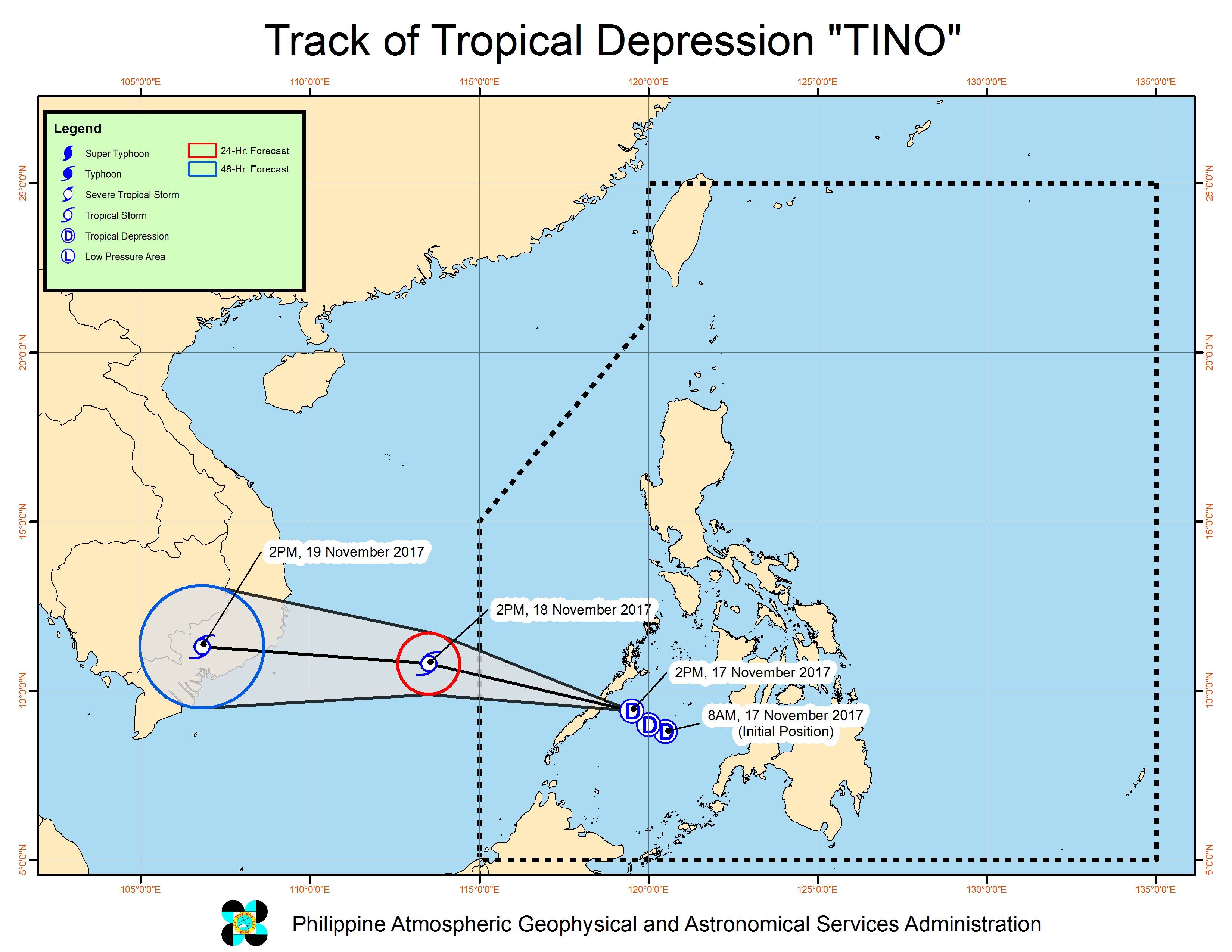
MANILA, Philippines – Tropical Depression Tino was very close to Palawan late Friday afternoon, November 17, shortly before its landfall in the province.
In a bulletin issued 5 pm on Friday, state weather bureau PAGASA said Tino is already 65 kilometers east of Puerto Princesa, Palawan, still moving west northwest at a relatively fast 28 kilometers per hour (km/h).
Tino has maximum winds of 55 km/h and gustiness of up to 90 km/h. (READ: EXPLAINER: How tropical cyclones form)
Signal number 1 remains raised in the province of Palawan. Residents should watch out for possible flash floods and landslides. (READ: FAST FACTS: Tropical cyclones, rainfall advisories)
Light to moderate rain is also expected in Oriental Mindoro, Occidental Mindoro, Marinduque, Romblon, Bicol, and the Visayas.
PAGASA also warned that sea travel is risky in Palawan, a tourist destination famous for its beaches. Fishermen and those with small vessels should not venture out into sea.
If Tino maintains its speed of 28 km/h, it will leave the Philippine Area of Responsibility (PAR) on Saturday morning, November 18.
– Rappler.com
Add a comment
How does this make you feel?
There are no comments yet. Add your comment to start the conversation.