SUMMARY
This is AI generated summarization, which may have errors. For context, always refer to the full article.
What’s the weather like in your area? Report the situation through Rappler’s Agos or tweet us at @rapplerdotcom.
MANILA, Philippines – Light to heavy rain is expected in parts of Luzon and Mindanao on Tuesday, November 21.
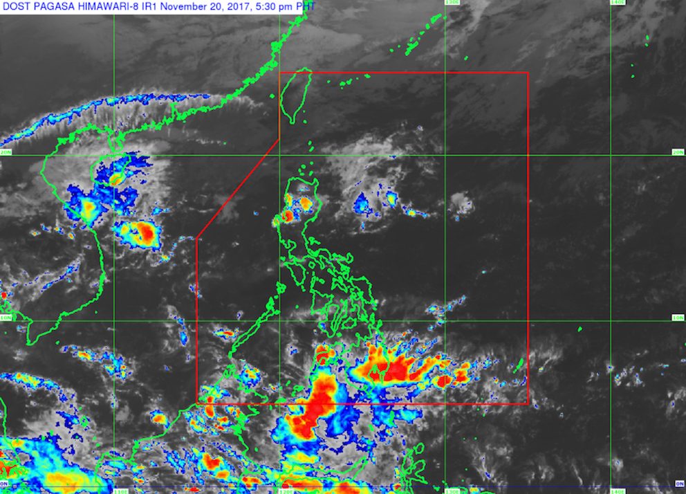
In a bulletin issued 4 pm on Monday, November 20, state weather bureau PAGASA said the tail-end of a cold front is affecting the eastern parts of Northern Luzon and Central Luzon, while the northeast monsoon is affecting extreme Northern Luzon.
Areas affected by the tail-end of a cold front include Cagayan, Isabela, Aurora, and Quezon, which should brace for possible flash floods and landslides.
A cold front forms when an advancing cold air mass displaces warmer air in its path, causing the displaced warm air to rise, which then leads to the formation of clouds and precipitation. (READ: FAST FACTS: Tropical cyclones, rainfall advisories)
There will also be light rain in Batanes and the Babuyan Group of Islands because of the northeast monsoon, though PAGASA said there will be “no significant impact.”
Meanwhile, the trough or elongated region of a low pressure area (LPA) is affecting southern Mindanao. Davao and Soccsksargen should be on alert for flash floods and landslides.
PAGASA forecaster Gener Quitlong said in a briefing late Monday afternoon that the LPA itself is outside the Philippine Area of Responsibility (PAR) and is not expected to enter.
The rest of the country, including Metro Manila, will only have isolated rainshowers or thunderstorms on Tuesday.
– Rappler.com
Add a comment
How does this make you feel?
There are no comments yet. Add your comment to start the conversation.