SUMMARY
This is AI generated summarization, which may have errors. For context, always refer to the full article.
What’s the weather like in your area? Report the situation through Rappler’s Agos or tweet us at @rapplerdotcom.
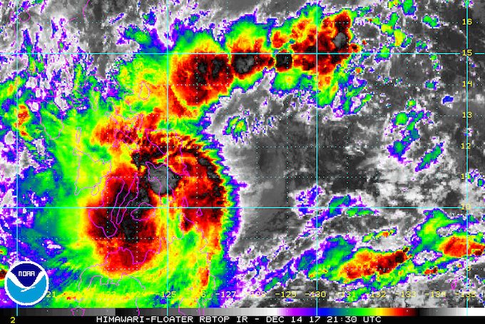
MANILA, Philippines – Tropical Storm Urduja (Kai-tak) slightly intensified before dawn on Friday, December 15, as it moved slowly off the eastern coast of Samar Island.
In a bulletin issued 5 am on Friday, state weather bureau PAGASA said Urduja now has maximum winds of 75 kilometers per hour (km/h) from the previous 65 km/h and gustiness of up to 90 km/h. (READ: EXPLAINER: How tropical cyclones form)
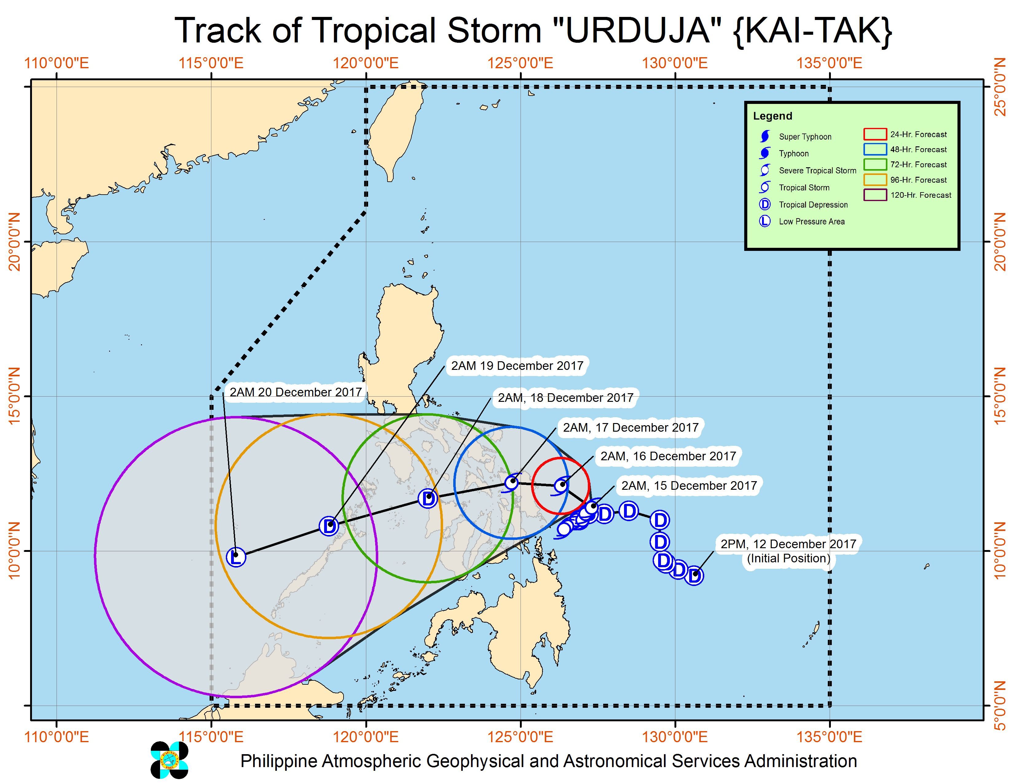
The tropical storm is already 205 kilometers east of Borongan, Eastern Samar, moving northwest at just 5 km/h.
Due to Urduja’s extremely slow movement, its expected landfall has been pushed back to either Saturday morning or afternoon, December 16.
Signal number 2 remains raised over:
- Eastern Samar
- Northern Samar
- Samar
- Biliran
Signal number 1, meanwhile, is still up in:
- Catanduanes
- Camarines Sur
- Albay
- Sorsogon
- Masbate including Burias and Ticao Islands
- Romblon
- Leyte
- Southern Leyte
- northern Cebu including Bantayan Island
- northern Bohol
- Capiz
- Aklan
- northern Iloilo
- Dinagat Islands
PAGASA warned that Urduja is bringing moderate to heavy rain within its 500-kilometer diameter.
Residents of provinces in the tropical storm’s path “must undertake appropriate measures against flooding and landslides and coordinate with their respective local government and disaster risk reduction and management offices,” said PAGASA. (READ: FAST FACTS: Tropical cyclones, rainfall advisories)
Sea travel also remains risky in the eastern seaboards of Bicol and the Visayas. Thousands of passengers were stranded in various ports on Thursday.
Classes have been suspended in some areas on Friday. (READ: #WalangPasok: Class suspensions, Friday, December 15) – Rappler.com
Add a comment
How does this make you feel?
There are no comments yet. Add your comment to start the conversation.