SUMMARY
This is AI generated summarization, which may have errors. For context, always refer to the full article.
What’s the weather like in your area? Report the situation through Rappler’s Agos or tweet us at @rapplerdotcom.
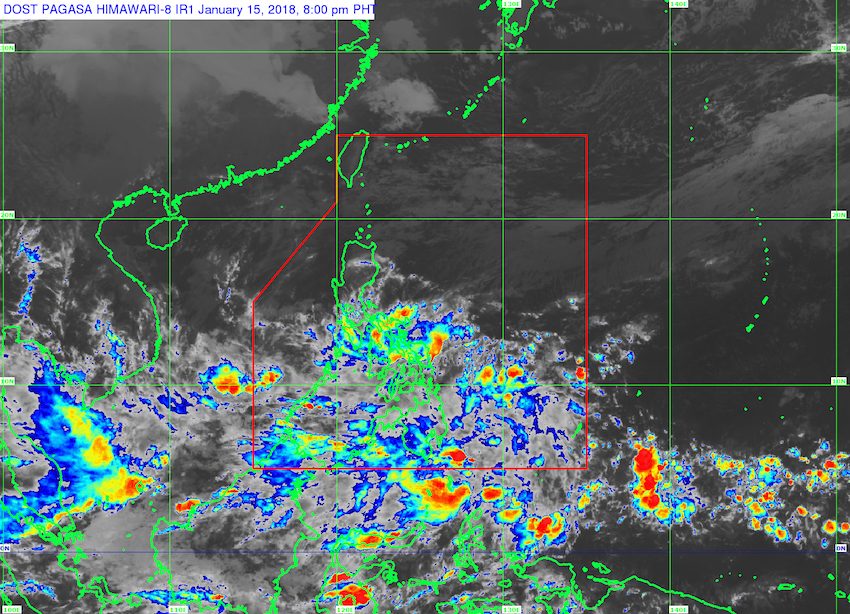
MANILA, Philippines – State weather bureau PAGASA is monitoring a low pressure area (LPA) off Mindanao which is expected to bring moderate to heavy rain on Tuesday, January 16.
In a bulletin issued 4 pm on Monday, January 15, PAGASA said the LPA is located 540 kilometers east of Hinatuan, Surigao del Sur.
This LPA only has a slim chance of developing into a tropical cyclone, but its trough or extension will trigger moderate to heavy rain in Palawan, the Visayas, and Mindanao. These areas should be on alert for possible flash floods and landslides. (READ: FAST FACTS: Tropical cyclones, rainfall advisories)
If the LPA does develop into a tropical cyclone, it would be given the local name Basyang.
Meanwhile, the tail-end of a cold front is also affecting the eastern part of Southern Luzon. Bicol, Marinduque, and Romblon should watch out for possible flash floods and landslides as well.
In the rest of Luzon, scattered rainshowers are expected due to the northeast monsoon, but PAGASA said there will be “no significant impact.”
– Rappler.com
Add a comment
How does this make you feel?
There are no comments yet. Add your comment to start the conversation.